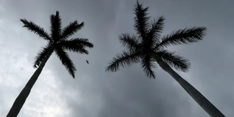
Hurricane Trudy formed in the Eastern Pacific early Thursday and was already a Category 3 storm with maximum sustained winds of 120 mph as it churned about 260 miles southwest of Acapulco, Mexico. The National Hurricane Center said the system has begun to rapidly intensify and expects it to become a major hurricane by Friday.
That makes Trudy a fast-moving threat to Mexico’s western coast this weekend, even if the exact landfall point is still unclear. Forecast models show the storm strengthening toward Category 4 intensity, and Trudy could become the ninth Category 4 or stronger hurricane in the Eastern and Central Pacific this season.
People along the coast are watching the storm for the same reason forecasters are: the Eastern Pacific has been running exceptionally hot this year. A strong El Niño pattern has helped drive the basin to its most active season on record by Accumulated Cyclone Energy, or ACE, a measure that captures how much total energy storms put out over time.

But the forecast still carries a built-in catch. Some models even point to a possible landfall, while confidence in Trudy’s exact track remains low, which means the difference between a dangerous offshore pass and a direct hit is still not settled. That uncertainty is why the next forecast updates matter more than the headline strength numbers do.
Simon offers the other side of the same weather pattern. It weakened into a Tropical Storm after peaking as a Category 4 hurricane over the weekend and was nearly stationary Wednesday morning about 210 miles west-southwest of Cabo San Lucas, Mexico, with hurricane-force winds extending just 10 miles from its center. Rain tied to Simon triggered several rockslides in Guerrero and neighboring states late last week, and its moisture is also fueling a flash flood threat across the Central U.S.
For Trudy, the immediate question is not whether it will intensify. Forecasters already expect that. The real test is whether the storm turns close enough to Mexico to turn a strong hurricane into a direct coastal threat, or stays just offshore and leaves the worst conditions to surf, rain bands and outer winds.