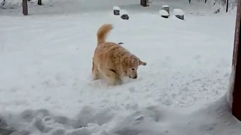
Winter weather is still hitting Montana today, with multiple Winter Storm Warnings in place and snow continuing to pile up across mountain passes and nearby valleys through the weekend. Travel is expected to be difficult on several key routes, while lower western valleys may see little more than a light dusting on grassy ground.
The warning that covers the Helena Valley, Madison River Valley and Missouri Headwaters lasts until 6 AM Monday and calls for 3 to 7 inches of snow, with winds gusting as high as 40 mph. Farther southwest, another warning running from 6 PM Saturday to 6 AM Monday covers MacDonald Pass, Homestake Pass, Highway 12 Garrison to Elliston, Georgetown Lake and Butte, where 3 to 9 inches are expected in the lower elevations and 12 to 18 inches in the higher mountain areas, along with gusts up to 45 mph.
That is why the search for Montana Snow Today matters now: the storm is not a one-time burst, but a moving system that keeps roads and higher terrain in play at the same time. Winter Storm Warnings also remain active until Monday in the Gates of the Mountains, Upper Blackfoot and MacDonald Pass, Southern High Plains and Southern Rocky Mountain Front, where 10 to 20 inches are expected and isolated amounts near 30 inches are possible in the Bob Marshall Wilderness.

The same split is showing up elsewhere. The Absaroka/Beartooth Mountains are under a warning until noon Monday and are expected to get 10 to 18 inches, while the East Glacier Park Region Zone and Northern High Plains could see another 10 to 20 inches, with the highest amounts in the mountains south of US Highway 2. Lower valleys in western Montana may only get a dusting on grassy surfaces, even as nearby passes are buried under heavier snow.
There is also a wind problem layered on top of the snow. Gusty easterly winds are expected to continue over Flathead Lake through early Monday, with occasional gusts of 40 to 50 mph and the chance of localized tree damage. That means the storm is not just a snowfall story; it is a travel and utility story, especially where wet snow, stronger gusts and higher elevations overlap.
By Monday morning, the immediate storm threat begins to ease in some zones, but the cold follows close behind. A widespread hard freeze is expected in the valleys from Monday through Wednesday mornings, and Tuesday morning looks to be the chilliest part of the stretch. Warmer weather is expected to return later next week, with highs climbing back into the 60s, but for now the next move is clear: snow totals keep rising in the mountains, and the cold arrives just as the warnings begin to expire.