


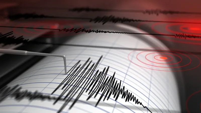
A magnitude 3.9 earthquake struck the Colombia-Venezuela border region on Sunday, August 9, 2026, at 12:57 p.m. local time, with its epicenter 17 kilometers from Santa Ana del Táchira, Venezuela. The Servicio Geológico Colombiano said the quake was shallow, with a depth of less than 30 kilometers.
That is why the event is drawing attention now: it landed in a border area where people had already been watching recent seismic activity closely, and the SGC marked the point on its map southeast of Cúcuta. For anyone searching Earthquake In Cali, the most relevant fact is not a city headline but the same border-zone motion showing up again in the region on a day when the ground moved at midday.

The coordinates place the event at 7.50 latitude and -72.28 longitude, a location consistent with a quake felt nearest to Santa Ana and in the wider area around northern Colombia and northern Venezuela. The SGC keeps permanent watch over seismic activity and maintains a catalog for registered events, which is why the record appeared quickly after the tremor.
What the bulletin does not do is just as important as what it does: it does not say this 3.9 quake was an aftershock of the June earthquakes. That leaves the event in a familiar but not fully defined pattern. On June 24, the north of Venezuela was shaken by two earthquakes of magnitudes 7.2 and 7.5, less than a minute apart, and a report in early July said the Venezuelan seismological agency had counted 804 earthquakes by July 3, most of them below magnitude 4.
The SGC also warned that the Sunday data can still change, including the magnitude, location or other details. That means the strongest reading for now is simple: another shallow border quake has been added to a region already under close watch, and the final catalog entry may still be refined.
