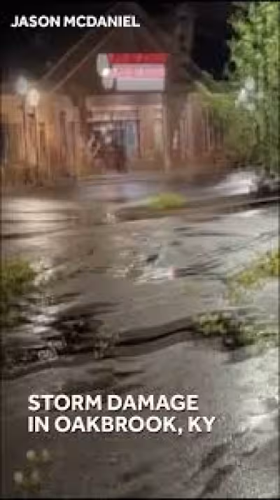
Severe weather hit the Chicago area on Wednesday, but the strongest tornado threat shifted south even as flooding, flight delays and storm damage kept spreading through the region. By late Wednesday, parts of central Illinois were under a Tornado Watch and parts of southern Wisconsin were under a Tornado Warning.
The timing mattered because the highest risk was expected in the mid-to-late afternoon and evening, when meteorologists said winds could reach 70 mph and isolated tornadoes were possible. The entire Chicago area stayed under a Flood Watch until 9 p.m. Wednesday, while a Ground Delay was in effect for O'Hare Airport and more than 200 flights were canceled there. Nearly 100 flights were canceled at Midway airport as the system kept grinding on.
The Storm Prediction Center had already placed areas south of the Chicago area under a Level 3 risk in a late Wednesday morning update, with the rest of the Chicago area under a Level 2 risk. That meant the main tornado concern had pushed farther away from the city itself, but the danger did not vanish; it changed shape. Residents in the south suburbs were still dealing with water, travelers were still dealing with delays, and schools and roads were still being affected by the same storm line.
Ashley Saxon, who lives in Chicago Heights, said her basement flooded again after storms rolled through Wednesday. She said the water came up to knee-high after what had started as a steady, slow rain. “Again, this has happened multiple times,” she said, describing how quickly the water moved from manageable to overwhelming inside her home.
The flooding in the south suburbs had gone down by Wednesday evening, but the day still left a clear split across the region: the tornado risk moved south, while Chicago was left handling the aftermath of wind, water and travel disruptions. Illinois is also approaching a record number of tornadoes this year, which makes each new watch or warning part of a larger season that has not let up.
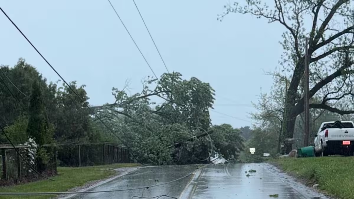
Earlier Wednesday, strong storms blew through Monmouth, Illinois and knocked a train off its tracks. Illinois State University also closed early at 2 p.m. because of the severe weather threat. Even as the worst tornado danger shifted away from Chicago, the system kept proving that one storm line could hit different communities in different ways, all on the same day.