
Severe thunderstorms are possible across North Jersey on June 6 as a cold front pushes through the region, setting up a late-day round of damaging winds, hail and heavy rain after another hot afternoon. Forecasters said the main threat window runs from about 5 p.m. to 1 a.m., with the strongest storms capable of gusts above 58 mph and hail around an inch in size.
The risk is broad enough to matter to anyone across the northern half of the state, but the greatest chance for severe storms is north and west of the I-95 corridor. Temperatures are expected to climb well into the 80s across much of the area, with lower 90s possible in the urban Northeast New Jersey corridor, giving the atmosphere extra fuel before storms arrive.
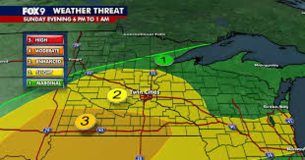
The Storm Prediction Center placed most of the region under a slight risk for severe weather, a level two out of five, which signals scattered storms with the potential to turn dangerous rather than a widespread outbreak. Heavy downpours could also cause localized flooding in cities, poor-drainage spots and along quick-responding streams and creeks, so the threat is not limited to wind and hail.
Forecasters said there is still some uncertainty about how much storm activity develops during the afternoon and whether the timing will limit how severe the storms become later in the day. That means the setup is strong enough to watch closely, but the exact outcome will depend on how quickly the atmosphere can organize before the front passes through.
Atlantic-facing beaches face a separate hazard on Saturday, with a high risk of rip currents and a warning from the National Weather Service that anyone in the surf should stay out of the water. Water temperatures below 60 degrees could quickly cause hypothermia. Residents are being told to monitor the forecast, make sure they can receive weather alerts and move indoors if thunder is heard; during severe thunderstorms, people should stay away from windows and avoid driving through flooded roads.
Conditions are expected to turn mainly dry on Sunday and stay that way into the middle of next week, with temperatures gradually warming again after the storms. For now, the biggest question is not whether North Jersey will see a stormy finish to the day, but how many communities end up under the strongest cells before the front moves on.