Netweather says the UK could carry its remarkably warm, dry spring into summer 2026, with August shaping up as the season’s hottest and driest month. Sean Batty’s outlook points to above-average temperatures across the whole summer, even if June starts unsettled and cooler than the end of May.
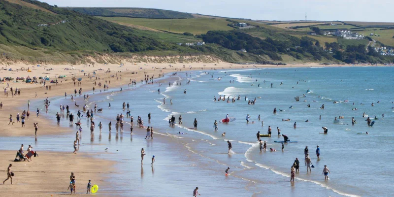
That mix is why the forecast is drawing attention now. After a spring that brought record-breaking May temperatures, people are looking for the first clues about whether the next few months will keep the heat running, and whether the dry spell that helped define spring may return later in the summer. The seasonal read for June-August suggests warmth is the dominant signal, but rainfall patterns look much less straightforward.
June is expected to open with rain chances, low pressure and a fresher feel than late May, before high pressure returns later in the month to bring drier and warmer conditions. July is then forecast to turn warm and at times hot, but still changeable, with no strong signal for a long settled spell. By August, the outlook becomes more striking: the month could be the hottest of the summer and also the driest, which would leave a very different feel across the UK if the pattern holds.

The forecast is built on seasonal models, ECMWF weeklies and composite charts from years with similar ENSO patterns, including 1997. A recent NOAA update on 26 May said El Niño is likely to emerge soon, giving an 82% chance in May-July 2026 and a 96% chance it will continue through December 2026 to February 2027. Netweather also points to a weak pressure pattern in the broader European outlook, with above-average temperatures expected across all regions and the clearest heat signal in southeastern Europe.
There is still a catch. The same signal that points to a hot, dry August also leaves June looking unsettled enough to bring showers and a cooler start than people might expect after May’s warmth. The weekly guidance shows low pressure in charge in the first half of June, then high pressure returning in the second half and perhaps edging into early July. That northward shift could leave southern parts of the UK a little less settled than the broader summer headline suggests.
The longer view is clear enough for planning, even if the detail will change. The strongest reading in this forecast is not that every week will be hot, but that the summer as a whole is leaning warmer than average, with the best chance of a sustained dry spell arriving late. If the pattern verifies, August may end up being the month that decides how the season is remembered.