Weather dc turns unsettled on Wednesday as a cold front approaches from the west, bringing a breezy day, rising clouds and two rounds of rain. High temperatures will climb into the mid-70s, but increasing cloud cover may keep the temperature from reaching 80 degrees.
South winds will gust up to 30 mph at times, especially during the afternoon. The first round of showers is expected around 3 p.m. as a broken line of light rain moves through, followed by a second, stronger round of showers and thunderstorms Wednesday evening.
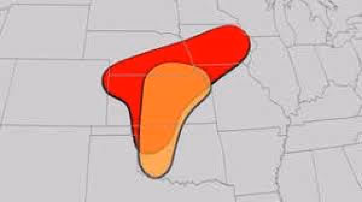
The greatest chance for gusty or locally damaging winds is west of I-81 and near and along the Blue Ridge, where the Storm Prediction Center has a low risk outlook for severe weather. Storms should weaken as they move toward the immediate Washington area during the evening commute, and rain and thunderstorms are expected to taper off by midnight.
For Washington, that means a damp, mild and a bit muggy Wednesday before the front clears the area. Patchy fog may develop by early Thursday morning as winds back off overnight, and Thursday will bring back some chilly air with cloud cover and a northwest breeze. Highs should only reach the lower 60s.
The cooldown will not last long. Friday brings sunshine, low humidity and temperatures in the lower and middle 70s, then the heat builds through the weekend. Saturday should reach the lower and middle 80s, and Sunday highs are expected to hit the mid- to upper-80s around the Capital Beltway.
Early next week turns hotter still, with highs in the middle 90s, before cooler, more seasonable air returns heading into Memorial Day weekend. After Wednesday’s brief stretch of rain and wind, the bigger story is the sharp swing that follows: a cool Thursday, a pleasant Friday and then a fast climb into true summer heat.