


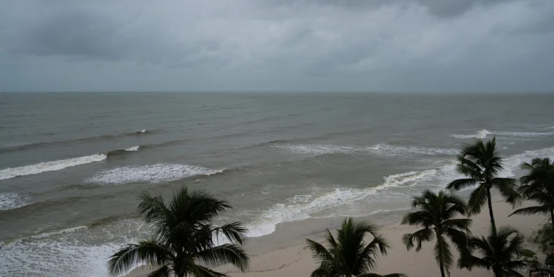
The Southeast coast is heading into a rough 48 hours as peak fall King Tides combine with northeasterly winds and drive major coastal flooding across parts of South Florida, Georgia and South Carolina. Coastal Flood Warnings are already in effect, and the worst flooding is expected during morning high tides over the next two days.
That timing matters because this is not a one-off splash of water. It will mark at least the fifth consecutive day that levels have risen more than 2 feet above normally dry ground, with the next round of inundation likely to arrive while many roads and waterfront areas are still dealing with the last one.
King Tides are the highest naturally occurring high tide of the year, and this season’s peak is lining up with persistent northeasterly winds of 20 to 25 mph that are pushing seawater onshore. That is why the flooding threat is spread across multiple coastlines at once, from Charleston and the South Carolina Lowcountry to around Jacksonville, and south into Miami Beach, Brickell, Fort Lauderdale and the Florida Keys.

Charleston and the South Carolina Lowcountry face a heightened threat, where water levels in Charleston Harbor could potentially reach or exceed 2 feet. Major flooding could spread beyond the immediate waterfront and into downtown streets, and flooded roads could become impassable during peak high tide. Around Jacksonville, northerly to northeasterly winds may also slow drainage along the St. Johns River.
The unsettling part is that the flooding is expected on clear, sunny days with no storm in sight. Even so, the water can still pile up high enough to force saltwater through storm drains and onto streets, especially in low-lying parts of South Florida where heavy rain is also in the mix.
Additional rainfall totals exceeding 2 inches are possible through this week, with downpours capable of producing more than 1 inch of rain per hour. If that rain falls on top of peak King Tides, elevated ocean water could restrict stormwater drainage and worsen urban flooding across Miami-Dade and Broward counties, where a Level 1 out of 4 flash flood threat has been issued through Tuesday.
The next 48 hours will likely be the most disruptive stretch, but the risk does not end there. With morning high tides continuing and rain still in the forecast, the question for residents and travelers is not whether the coast will flood, but which streets will be under water when the tide rolls in.