

A slow-moving storm is shifting toward a colder finish, and the first snow of the season is now expected to reach the Dakotas from Sunday night into Monday night. Before that happens, the system is still feeding heavy rain and severe weather across parts of Colorado, New Mexico and the adjacent Plains.
AccuWeather Meteorologist Brandon Buckingham said the storm still has plenty of potency left through this weekend, with more pockets of heavy rain that could aggravate flooding or trigger new problems in Colorado and New Mexico. Some areas are expected to take in 1 to 4 inches of rain from Saturday to Sunday evening, and the Local StormMax™ rainfall is 10 inches.
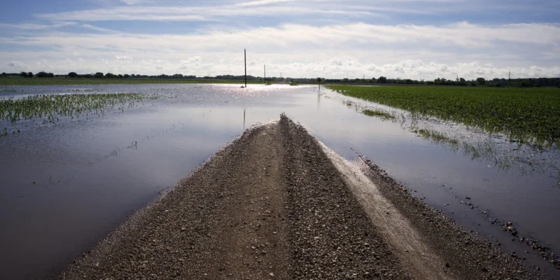
The timing matters because the same storm is not done with one region before it reaches another. Flash flooding could develop where downpours linger or repeat, with the greatest flood danger in hilly terrain and desert locations, where mudslides are also a concern. Recent wildfire burn scar locations may be especially vulnerable, and the storm’s rain and snow are part of a broader pattern that has already kept pressure on the Southwest and the central Plains.

By the time colder air pulls into the system from the Rockies to the Dakotas, eastern Montana and western Minnesota, enough change in the air mass should be in place for heavier snow to develop outside the highest elevations. Bob Smerbeck said there is the potential for several inches of snow over the Black Hills of South Dakota, and that Rapid City could see a slushy accumulation on Monday, especially on non-paved surfaces when the snow is most likely to fall hardest.
That is the part of the forecast that separates this storm from the earlier rain. Just enough cold air will be available to turn higher terrain rain into a mix of rain and wet snow over the Rockies in Colorado and Wyoming, then allow accumulating snow to spread into eastern Wyoming and northwestern Nebraska and into part of southwestern North Dakota. The same storm’s bulk of rain and all of its snow are still expected to avoid the Denver metro area and most of the Colorado River basin.
The dry ground adds another layer to the forecast. Most areas from the Rockies to the Great Basin and the Plains remain in moderate to exceptional drought, while only a corridor from eastern Colorado and northern Kansas to southeastern Nebraska and much of Iowa has gotten enough rain from summer into early autumn to escape it. Some runoff is entering the Colorado River and should help levels somewhat over the next couple of weeks, but the storm’s next visible marker is simpler: a cold turn and the season’s first snow for the Dakotas. How much of that snow sticks in Rapid City by Monday night is still the detail to watch.