


Heavy rain is winding down across northern Utah after a wet evening, but flood warnings remain in effect in parts of southern Utah where streams, washes and other waterways are still running high. The heaviest rain has ended, yet the water is not dropping fast enough to clear the hazard.
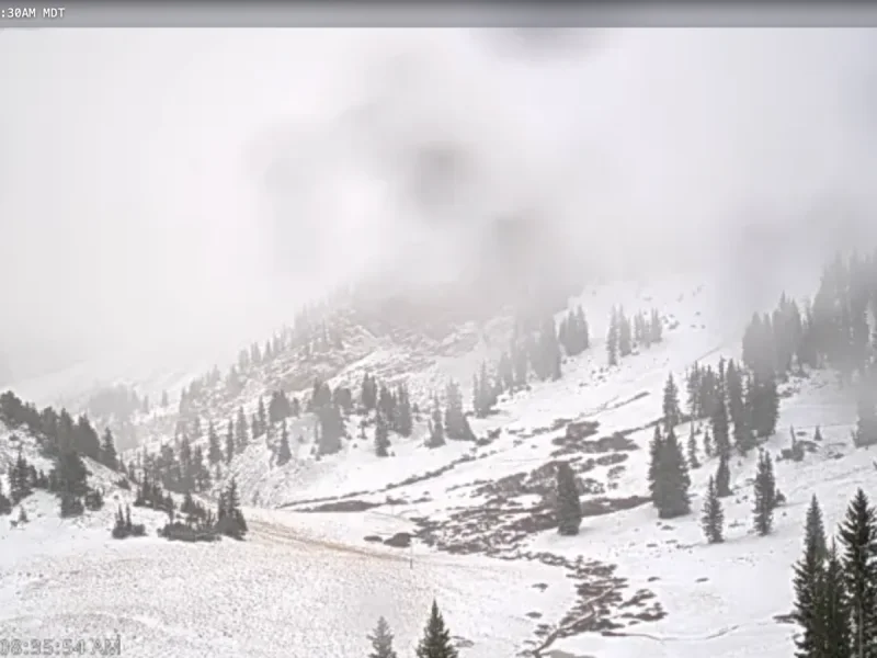
That is why Salt Lake City weather is still drawing attention this morning. Rain is expected across parts of northern Utah and southwest Wyoming, while colder temperatures are allowing snow to fall in the higher elevations. Mountains above 9,000 feet could pick up 1 to 4 inches of snow, with locally higher amounts possible in some areas.

Most of the widespread rain and snow is expected to end late Friday morning, though a few showers could linger across northern Utah, especially near the Utah-Idaho border, into Friday afternoon. The weekend is then expected to stay cooler and somewhat unsettled as another part of the storm system slowly moves across the Desert Southwest.
That slower-moving setup is what keeps the forecast messy even after the main rain band weakens. Flood warnings can remain in place after the heaviest rain has passed because streams and washes do not respond instantly, and elevated water can linger long enough to keep the concern alive well into the day.
By Saturday, scattered showers are expected mainly across southeastern Utah. By Sunday, the chance for showers could spread north into Utah’s higher terrain, and temperatures should begin to recover by Monday. Highs are expected to return closer to what is normal for late October by then, ending the stretch of cooler, unsettled weather with a gradual rebound.