


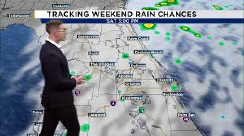
Central Florida is heading into a windy and unsettled weekend, and the coast is the first place to feel it. Strong northeast winds will build dangerous surf, coastal flooding and beach erosion, with conditions worsening from Saturday into Sunday.
That is why Jacksonville Weather is being searched now: the forecast is turning from breezy to hazardous as the weekend unfolds. Overnight, most interior counties will slip into the low to mid-60s, while coastal lows hold in the mid-60s to lower 70s. A few showers could drift onshore overnight, but most areas will stay dry until the wind strengthens Saturday.
By Saturday, northeast winds are expected to increase to 15 to 20 mph, with gusts of 30 to 35 mph. Temperatures should climb into the upper 70s and lower 80s, but the weather will be more unsettled near the beaches and across the northern counties, where rain chances are highest. A Coastal Flood Advisory is already in effect through Saturday for portions of the coast, and a Coastal Flood Watch extends into Monday.

The marine side of the forecast is deteriorating as well. A Small Craft Advisory remains in effect across the Atlantic waters, and Gale Watches are set to begin late Saturday into Sunday before continuing through Monday. Seas will keep building through the weekend, and offshore waves could reach 12 to 15 feet late this weekend into early next week.
Sunday looks like the worst day of the stretch. Northeast winds could reach 20 to 25 mph, with gusts as high as 35 to 45 mph, while rain chances rise to 70% to 80% along the coast. A few thunderstorms are possible, much of the coastal area is under a Level 1 out of 4 threat for excessive rainfall, and repeated rounds of showers could produce localized flooding.
The problem is that the worst conditions may line up with the most vulnerable tides. Sunday and Monday morning high tides are expected to be especially concerning for coastal flooding, with breaking waves building to 7 to 12 feet, rip currents running high and beach erosion ranging from moderate to major. Coastal flooding could be minor to moderate, but entering the ocean is strongly discouraged this weekend.
Gusty northeast winds will continue into Monday, and a few quick-moving showers remain possible near the coast. The broad picture is clear: most inland areas will mostly get a windy, damp weekend, but the coast faces the sharpest turn, with hazardous surf, flooding and rough marine conditions lasting into the start of next week.