

A nor'easter is expected to strengthen offshore through Wednesday, and it could bring a little rain to southeastern Connecticut late Wednesday and Wednesday night. The chances of measurable rain are low, but the setup is the main weather change for Connecticut this week.
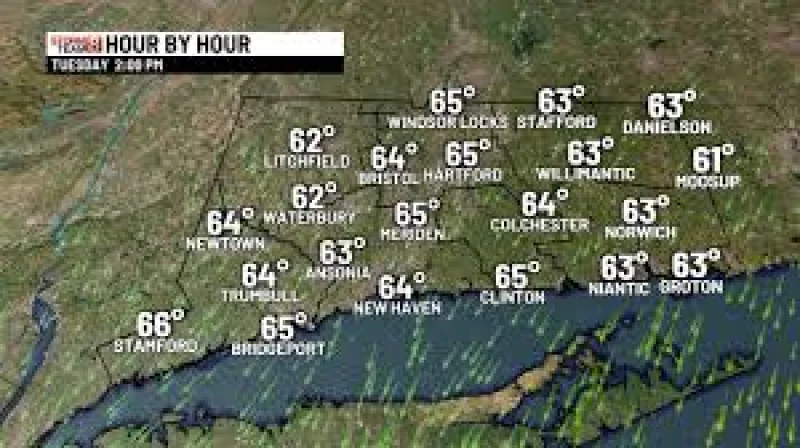
People in Connecticut are searching now because the forecast turns on timing, not on a major storm inland. For most of the state, the week stays mostly dry and mild, with highs in the lower to mid-60s through Thursday before dipping into the upper 50s on Friday and Saturday. Highs should then return to the lower 60s on Sunday, while overnight lows stay mainly in the 40s.

That means the weather remains seasonable for late October in Connecticut, and the sharper change is not rain but the slight cool down from last week. If the storm behaves as expected, southeastern Connecticut is the part of the state most likely to notice it, and even there the chance of rain stays limited.
The friction point is that the storm is expected to strengthen offshore while keeping its rain shield mostly out to sea. It is close enough to raise the chance of some showers near southeastern Connecticut late Wednesday and Wednesday night, but not close enough to make widespread rain likely. Coastal flood advisories were issued for parts of southern New Jersey and Delaware late Tuesday afternoon into the late evening hours, a sign that the storm is still being watched as it moves offshore.
For Connecticut, the forecast is still straightforward: mostly dry, cooler than last week, and only a low-risk brush from the offshore nor'easter before it moves farther out to sea. The main unanswered piece is how close that storm gets before it pulls away, but the current forecast keeps the state on the dry side.