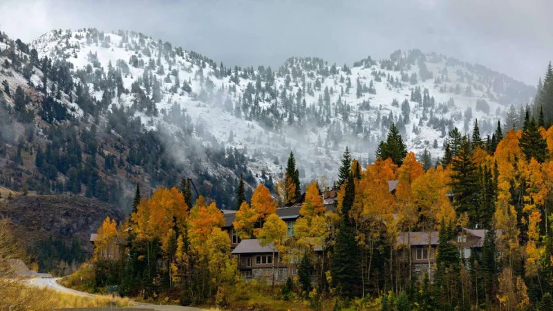
A flood watch remained in effect Monday for much of northern Utah as rain was expected to give way to mountain snow late in the day and into midweek, setting up two problems at once: rising water in the lower elevations and accumulating snow in the high country.
For Rebecca Brenner, the timing matters because the watch runs until 6 p.m. Monday for the Wasatch Back, the Wasatch Mountains and the western Uinta Mountains, including Park City, just as colder air begins to move in. The National Weather Service said the change will not hit every elevation the same way, but the shift will be enough to make this a live snow forecast for travelers and people watching creeks, streams and poor-drainage areas.
The Weather Service said moisture from the remnants of Tropical Storm Rachel has kept rain going longer across northern Utah, and that moisture is interacting with a frontal boundary to create the chance for heavier rainfall and broader flooding. The agency also warned that some of the watch area includes rivers, creeks and streams, urban spots and recent burn scars, including the Rocky Canyon burn scar, where runoff can turn quickly.

Chase Thomason gave a more aggressive mountain outlook than the Weather Service, saying colder air moving into Utah could lower snow levels to roughly 7,000 to 8,000 feet late Monday into Tuesday. He said several inches of snow are possible above 8,000 feet, with 4 to 12 inches possible in the Wasatch Mountains through Wednesday and 1 to 2 feet possible in portions of the Uinta Mountains through Wednesday. The National Weather Service was more cautious, saying rain should turn to snow above about 9,000 feet by Monday night and that snow accumulation is expected across the higher mountains through Wednesday.
That gap is the difference between a wet mountain storm and a real early-season snowfall. In the western Uinta Mountains, including the Mirror Lake Highway area, the Weather Service forecast 2 to 4 inches Monday night and another 3 to 5 inches on Tuesday. Park City is expected to stay on the edge of the transition, with showers Monday, temperatures falling into the 40s, rain turning to a rain-snow mix overnight and snow showers Tuesday. At the point forecast near 8,000 feet, little or no accumulation is currently expected.
The practical answer for now is that the flood watch expires first, but the mountain impacts last longer. Residents in flood-prone areas were told to keep watching forecasts and be ready to act if flood warnings are issued, while high-elevation roads could become difficult as snow builds through Wednesday. For anyone heading into the Wasatch Mountains or the western Uinta Mountains, this is no longer just a rain event, but it is not a full mountain washout either; it is a transition, and the higher the road, the more likely the snow sticks.