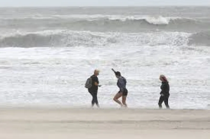
An early nor'easter has spun up off the Southeast coast, and flood warnings are now posted for the Jersey Shore as forecasters warn of moderate coastal flooding through the weekend. High-tide flooding is also expected along the Delaware River into Saturday, with some roads likely to go under water and vulnerable structures at risk of damage.
The National Weather Service said Wednesday that the flooding could turn damaging, with roadway closures likely where water rises across low-lying routes. Winds may gust to 45 mph at the beaches and 35 mph inland, adding enough push to make the high tides worse. Ocean City was already advising residents to move vehicles to safe places, while the Army Corps of Engineers shifted its beach-fill equipment in Avalon and Ocean City to safe harbors.

That is why the forecast is getting attention now: the storm is coming during a stretch of high tides that can stack up the impact, and the moon reaches fullness Saturday, adding more lift to the water. Moderate flooding could hit the oceanfront for four consecutive high-tide cycles starting at 7 p.m. Thursday evening, then move into the back bays Friday evening and Saturday morning. Along the Delaware River, the weather service expects moderate flooding at 1 a.m. Friday and again at 2 a.m. and 2 p.m. Saturday.
Doug Bergen said Ocean City was telling residents to move vehicles to safer ground, and that warning fits the larger concern. At the moderate level, many roads can become impassable and some houses could take damage, and the weather service is already warning of widespread roadway flooding. Still, the forecast is not locked in: as of late Wednesday, computer models were still split on whether the storm will make a westward jog toward the coast or stay farther out to sea, which would change how much rain and flooding reach land.
The storm is also unusual for the calendar, arriving early enough to serve as a reminder of how fast autumn coastal flooding can build. No rain is expected until the weekend, but breezy weather is likely to linger, and the winds are expected to turn more northerly rather than hammering straight onshore. If the track holds offshore, the flooding may stay closer to the forecast now in place; if it bends west, the Jersey Shore and Delaware River corridor will get hit harder.