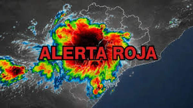
The Servicio Meteorológico Nacional warned that a cold wave will cut across parts of Argentina over the next 72 hours, bringing showers, storms, strong wind gusts and subzero dawns before conditions begin to ease on Friday 28 August.
The timing matters because the shift starts now: cloud cover is set to build on Wednesday 26 August, the first showers could appear in sectors of Buenos Aires, and the strongest instability is expected on Thursday 27 August, when rain and storms could affect different areas of Buenos Aires province.

That short window is also where the country’s sharp split becomes clear. Some localities in the north of Buenos Aires province could approach 20 °C before the rain arrives, while the center of the province is still expected to wake to very low temperatures, with Tandil and Olavarría near -2 °C and frost. In AMBA and La Plata, temperatures will rise on Wednesday, but humidity will favor showers and storms toward Thursday. The Costa Atlántica is forecast to stay colder, with moderate temperatures and possible rain and gusts during the period of greatest instability.
Elsewhere, the SMN is watching sectors of Buenos Aires, Santa Cruz, La Pampa, Santa Fe, Entre Ríos and Corrientes for low temperatures. In some areas of the center of the country, minimums could approach 0 °C, and in parts of the south they could fall to -5 °C. That means the same weather system is delivering very different outcomes at once: rain and storms in one stretch, frost in another, and in the interior of Buenos Aires province, mornings that will stay cold even after the pattern begins to stabilize.
Conditions are expected to improve progressively from Friday 28 August, but the forecast leaves one practical question open for everyone in the affected regions: how long each place stays below freezing, wet or wind-battered before the warm-up finally takes hold.