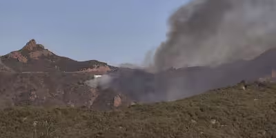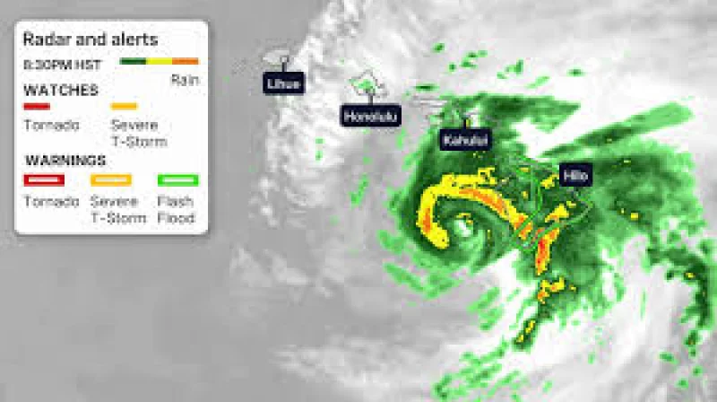
Hurricane Lala brushed the south side of the Big Island on Saturday evening, pounding Hawaii with heavy rain, high winds and rough surf as it made its closest approach to the islands. At 5 pm HST, the storm’s eyewall was just south of the Big Island’s southernmost point and moving west-northwest.
That is why the search for a Hurricane Tracker Hawaii update matters now. The Big Island was under a hurricane warning through Saturday night, while Maui County, Oahu and Kauai County were under tropical storm warnings through Sunday. Lala was still close enough to keep sending damaging weather across the chain, and the most immediate threat was not just wind but the combination of wind, rain and pounding waves already disrupting life on the islands.

The numbers showed why the storm was being watched so closely. Wind gusts from 50 to 90 mph were measured over the mountainous terrain of the Big Island, Maui County and Oahu, and instruments atop Mauna Kea measured a 154 mph gust early Saturday afternoon. Strong winds downed trees and power lines and blocked roads on parts of the Big Island, while flooding closed some roads in Hilo and to the south near Mountain View and Hawaiian Paradise. Parts of the eastern Big Island and eastern Maui had already picked up 3 to 8 inches of rain, and some mountain slope gauges had measured 10 to 18 inches.
Even with the center south of the Big Island, the island chain was still on the storm’s dirty side, where the worst wind and storm surge can still land. That is the part of the setup that matters most for the rest of Saturday night and Sunday: the center can be offshore and still leave damaging bands sweeping across land, especially when steep terrain helps squeeze more rain and wind out of the storm.
Lala had become only the fifth hurricane since 1957 to pass within 70 miles of the Big Island, according to NOAA’s historical record, a reminder of how unusual this track is. The storm was expected to keep sending heavy rain westward into Sunday and move west of the islands by Monday, which means the worst of the wind may ease first, but the flooding risk can linger after the center has already passed.