


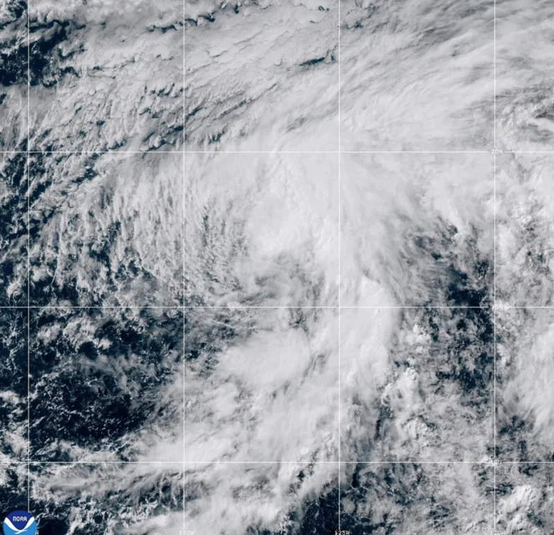
Storm Douglas formed on Wednesday, July 1, 2026, in the Pacific, and forecasters said it posed no threat to land. The new storm was already a defined system over open water, with winds near 65 km/h as it moved north.

At the time of the first advisory, Douglas was about 1,925 kilometers west-southwest of the southern tip of Baja California, Mexico, far enough offshore that the nearest concern was the track itself, not any immediate impact on shore. Its tropical-storm-force winds stretched as far as 150 kilometers from the center, a reminder that even a storm with no land threat can still cover a broad patch of sea. That is why a formation like this gets watched closely the moment it is named, just as forecasters monitor other active systems such as One-E in the Pacific or fast-moving storm fronts tied to heavy rain elsewhere.
The part that matters next is the path. The Centro Nacional de Huracanes expected Douglas to turn gradually toward the northwest later in the week and to weaken steadily starting Thursday. Those two moves often go together when a storm loses some of the conditions that helped it organize, but the forecast still leaves one open question: whether Douglas stays on that slower, weaker track or changes more than expected before the week ends. For now, though, the picture is clear enough. Douglas is a storm at sea, not a land emergency.
