A warm spell is giving way to a wetter, windier and fresher run of weather across Britain this week, with rain from an Atlantic low pressure system set to interrupt the mild start. It will not be as hot as last week, but the shift will be sharp enough to be noticed from the south coast to Scotland.
That change is why Weather London is being searched now. People in the capital and beyond are trying to work out when the warmth ends, when the rain arrives and whether the weekend turns unsettled again. Fresh air is expected by Friday, and cooler nights are due to settle in at the weekend.
The first half of the week should still feel mild. Overnight frontal rain is expected to continue pushing north across northern Scotland today, while Aberdeen and eastern Scotland could see 18 to 20C in sunshine. For the rest of Britain and Northern Ireland, bright or sunny spells will mix with clusters of showers, some heavy at times with a risk of thunder away from north and west Scotland, western counties of Northern Ireland and later southwest England. Hail is also possible, and Tuesday late morning and afternoon could bring scattered thunderstorms with gusty winds across central, southern and eastern England.

The unsettled pattern then tightens on Wednesday. A frontal rainband is expected to move over Northern Ireland, Wales and the West Midlands, with showery rain extending into southwest England. By lunchtime, the rain and cloud should push across the Irish Sea to the Central Belt and southern Scotland, as well as northern and eastern England. Behind the band, Wales and England are expected to brighten again with warm sunshine and temperatures in the high teens to low 20sC, even as heavy and thundery showers spread over Northern Ireland and later southern Scotland and northern England. More rain and showers are expected on Wednesday night as the low centre swings across Scotland.
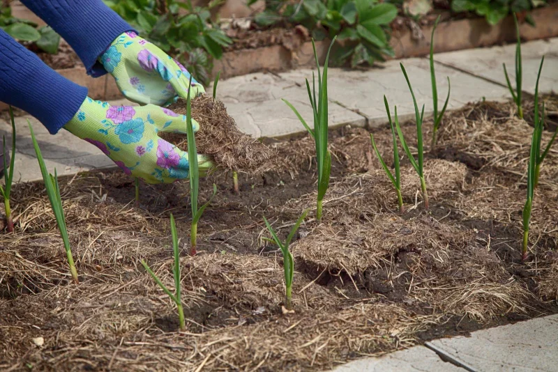
The timing is good news for gardeners and growers, especially in the south and east, where some areas have been very dry after the reversal in rainfall from winter to spring 2026. The rain should help after a warm spell that followed last week’s heatwave and a new May temperature record of 35.1C, but the relief will not arrive in one clean sweep. The strongest change comes on Thursday, when fresher air moves in from the Atlantic, and by Friday conditions are expected to feel fresher still.
Saturday may bring another round of wet and windy weather as a new low pressure system approaches, but that part of the forecast is still less certain than the midweek shift. What is clear is that the brief taste of early-summer warmth is giving way to a more familiar British pattern: showers, wind and a cooler weekend finish.