


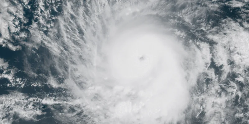
The National Hurricane Center has designated its first Eastern Pacific area to watch of 2026, putting an 80% chance on development over the next seven days. The thunderstorms are being monitored thousands of miles off Mexico, and forecasters expect the system to stay at sea.
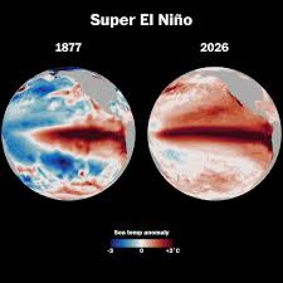
That is why Bryan Norcross is getting attention now. He is joining the coverage to talk about a potential Super El Niño, the start of the East Pacific season, and his Hurricane HQ&A, all as the basin’s first watch of the year lands just as the calendar turns deeper into tropical season.
The timing matters because the Eastern Pacific hurricane season runs from May 15 to Nov. 30, and the first named storm there typically does not form until around June 10. The FOX Forecast Center said development in this window would not be unusual. Since 1950, the basin has seen 25 tropical storms and 19 hurricanes during May, a total of 44 named systems, and the last May storm was Hurricane Agatha, which moved into Mexico on May 30, 2022, as a Category 2 hurricane.
This watch is not the same area of interest that government forecasters were highlighting earlier this week. NOAA's Climate Prediction Center is still tracking a separate area closer to the southwestern coast of Mexico that may have a better chance of tropical development later into June, while this one remains farther west in the Eastern Pacific. That split matters because it keeps the focus on two different pieces of ocean, even as only one has been assigned the first 2026 watch.
The wider weather pattern adds another layer. A developing super El Niño is expected to increase tropical activity in the Eastern Pacific while suppressing tropical development in the Atlantic, which starts on Monday. For now, the immediate story is simple: a disturbance over open water has a strong chance to organize, but the most likely outcome is a system that spins away from land. Forecasters will spend the next seven days learning whether this first watch becomes the season’s first tropical system, and how quickly the East Pacific can start to stack up storms once it does.
