NOAA’s Climate Prediction Center said on May 14 that El Niño is likely to emerge within the next two to three months, giving the tropical Pacific weather pattern an 82% chance of forming before the end of summer. The same forecast said there is a 96% chance it will still be in place from December 2026 to February 2027, carrying the system into the Northern Hemisphere winter.
The timing matters because NOAA said El Niño could be strong enough during the June-November hurricane season to change how storms organize in both the Atlantic and Pacific oceans. The agency said the pattern typically increases wind shear over the Atlantic, a setup that can rip developing storms apart, while wind shear is reduced in the Pacific. In NOAA’s words, El Niño favors stronger hurricane activity in the central and eastern Pacific basins and suppresses it in the Atlantic basin.
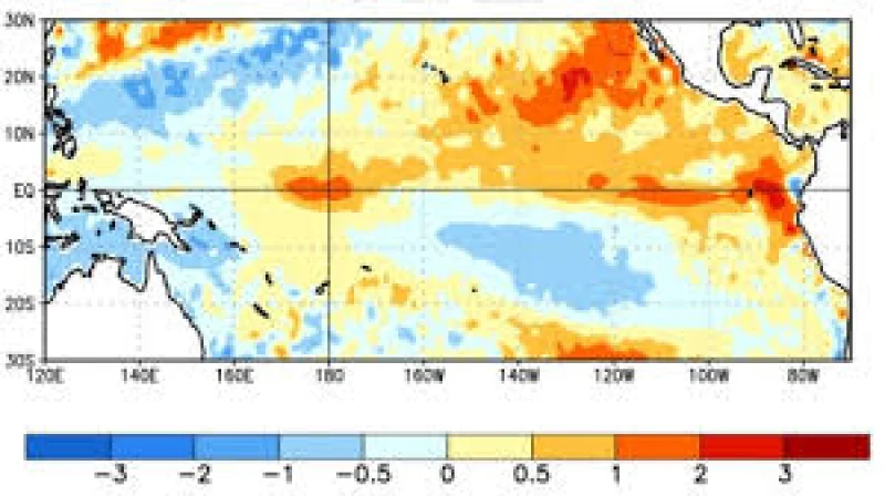
The forecast centers on one of the climate system’s most watched rhythms. El Niño is the warm phase of the El Niño-Southern Oscillation, or ENSO, when surface waters in the central and eastern tropical Pacific run warmer than average. Its opposite phase, La Niña, is marked by cooler-than-average water in the same region. Fishermen off the coast of South America first recognized the pattern in the 1600s, when unusually warm water appeared around Christmas, giving the phenomenon its name.

The new outlook also points to the possibility that the strongest effects may not arrive immediately. Michelle L’Heureux said there is a 2-in-3 chance of a strong or very strong El Niño during the November 2026 to January 2027 season, which would place the peak close to the heart of winter rather than at the start of the year. That matters for rainfall, temperature and storm tracks far beyond the Pacific basin.
El Niño events typically warm the global climate, the World Meteorological Organization said, and they are often tied to heavier rainfall in parts of southern South America, the southern United States, the Horn of Africa and central Asia. The same pattern is usually linked with drought over Australia, Indonesia and parts of southern Asia. The organization said 2024 was the hottest year on record because of the combination of the powerful 2023-2024 El Niño and human-induced climate change from greenhouse gases.
That is the tension inside this forecast: the next El Niño may not peak until late in the year, but its influence could begin earlier, right as hurricane season is already under way. For forecasters and emergency planners, the question is not whether the pattern will matter, but how quickly the atmosphere responds once the Pacific starts to warm.