Cleveland felt more like midsummer on Monday, with Hopkins Airport hitting 88 degrees and some spots reaching 90 for the first time this season. A decaying line of thunderstorms was rolling through the area Monday evening, and the spotty showers were expected to fade overnight.
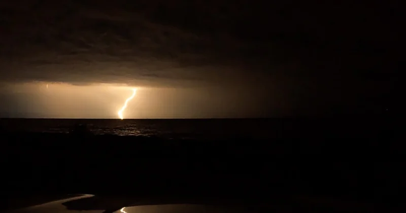
The warm air is not done yet. Temperatures were forecast to stay in the 60s and low 70s Monday night, but the next round of trouble is set to arrive Tuesday, when scattered storms could turn strong or severe from 4 pm to 10 pm. Damaging winds, hail, frequent lightning, heavy rain and isolated tornadoes are all possible.
That storm risk comes ahead of a cold front that will finally break the stretch of warm weather and send temperatures lower for the rest of the work week. Tuesday’s forecast called for scattered storms with a high of 83 degrees, but Wednesday is expected to bring the wettest weather early, with rain lingering through the first half of the day as temperatures fall. The high on Wednesday is likely to come early, around 70 degrees, before readings slide into the 50s and 40s by afternoon and evening.
After that, the change gets more noticeable. Below-average temperatures are expected on Thursday, when the forecast high is 58 degrees and conditions are expected to dry out. Friday should bring a few showers and seasonable weather with a high of 66 degrees, before Saturday turns active again with scattered rain, a few storms and a warmer high of 74 degrees.
The holiday weekend has already been flagged as active, though no finer detail was given. For now, the sharper concern is Tuesday evening, when the best window for severe storms appears to be between 4 pm and 10 pm — a short stretch that could bring the most disruptive weather of the week.