
Southern California is heading into a windy weekend that could turn dangerous on land and at sea, with the strongest gusts expected Friday night and Saturday along the Interstate 5 corridor, the northwestern Antelope Valley and the Santa Ynez Mountains.
Forecasters say there is a 70% chance gusts in those areas reach 40 to 55 mph, with a 20% chance they climb to 60 mph or higher. The same wind pattern could whip up dangerous seas, raise wildfire risk in some inland and foothill areas and send large breaking waves crashing onto the coast.
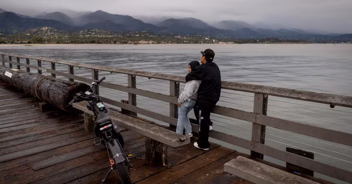
The Central Coast could see gusts of 30 to 40 mph on Saturday and Sunday, while the winds over the water are expected to strengthen to gale force Friday afternoon and remain there through Sunday. Gale warnings are in effect for the outer waters, the inner waters along the Central Coast and the Santa Barbara Channel, and local storm force gusts are possible late Saturday afternoon and evening for the outer waters from the Central Coast to San Nicolas Island. Those conditions could capsize or damage both small and large vessels.
Mike Wofford said the winds could produce “elevated fire weather conditions, with brief periods of critical risk in some areas,” but he also said there is “likely a month or two to go before fuels become critically dry and primed to spread large fires.” That distinction matters because the region is coming off the tail end of its rainy season, and while soils and vegetation have begun to dry out, the landscape is not yet at the point where large fires are primed to spread quickly.
Temperatures are expected to average 5 degrees below normal on Saturday and Sunday, a slight cooling that will do little to blunt the wind. The weather service issued high surf advisories from 3 p.m. Friday to 9 a.m. Monday for beaches in San Luis Obispo, Santa Barbara and Ventura counties, where large breaking waves could reach 5 to 15 feet.
That surf brings its own hazards. Dangerous rip currents could pull swimmers out to sea, and elevated surf is also expected at Los Angeles County beaches and along the Malibu coast. Minor beach erosion and isolated minor coastal flooding are possible, most likely during evening high tides on Saturday and Sunday.
The broader picture is clear: this is a windy Southern California weekend that will be felt on roads, ridgelines, beaches and offshore waters, but not yet the kind of extreme dry-fuel setup that usually drives the most destructive wildfire outbreaks. The next thing to watch is whether the gusts materialize at the upper end of the forecast, because that would sharpen the fire and marine risks fast.