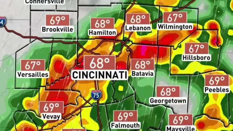
Two waves of storms could move through the Tri-State on Saturday, bringing a chance for gusty weather from the morning into the evening as Cincinnati weather turns unsettled after a brief stretch of calm. The first round is expected by 9 a.m., with scattered storms continuing until about 4 p.m., and a second wave could follow later in the day.
The severe weather threat is low, but it is not zero. A Marginal Risk, Level 1 out of 5, is in place, and damaging winds are the main concern. Winds could gust over 25 mph, while heavy rain and frequent lightning are expected with any thunderstorms that do develop.
The strongest storms may arrive Saturday evening after temperatures climb into the upper 70s. Between 6 p.m. and 11 p.m., strong winds and large hail could lead to severe thunderstorm warnings, even though the day begins with only scattered storms and a lower-end risk. FOX19 labeled Saturday a First Alert Weather Day because of the expected storms in the Tri-State.
That timing matters because the day is not one long, steady washout. It starts with one round, eases for a while, and then may build again once the afternoon warmth has had time to do its work. That is what raises the threat later, even when the morning setup looks modest.
A few showers may linger early Sunday morning, but conditions improve by the afternoon, when highs are expected to reach the mid 80s. Monday turns warmer still, with highs in the upper 80s and feels-like temperatures near 90 degrees before another cold front arrives after the warm stretch.
For now, Saturday is the day to watch. The storms are not expected to be extreme, but they are close enough to matter, especially for anyone with outdoor plans during the morning commute, the afternoon, or the evening hours when the stronger round could form.