Portland is heading into its first heatwave of 2026 this weekend, with temperatures expected to start climbing Saturday and peak Sunday and Monday. Sunday and Monday were named FIRST ALERT WEATHER DAYS as the city braces for the hottest stretch so far this year.
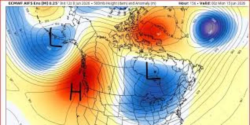
The warming will come fast. After an upper-level low moved across the region Monday afternoon and brought a rare rainy June day, rain was expected to fade overnight with only scattered light showers Tuesday. Then a big ridge of high pressure is expected to build just offshore of the West Coast and send afternoon temperatures about 40 degrees higher within 6 to 7 days.
That kind of swing is why the weekend forecast has drawn attention across Portland and the western valleys. Saturday is expected to bring temperatures around 90 in the valleys, with the hottest weather landing Sunday and Monday. The forecast says the heatwave will not be long-lasting or historic, but it will be sharp enough to change plans for a few days and push the region into the kind of heat that feels out of place in June.
The most eye-catching number is Portland's possible high. Forecast guidance has pointed to 100 at PDX, but the models suggest the city may top out closer to 96. Either way, Sunday is expected to blow through the last remaining sub-90-degree June daily temperature record, a mark that exists for both PDX airport and downtown Portland. The east wind is expected to blow down off the Cascades from late Saturday through late Monday, helping drive the surge.
For Portland, a heatwave is generally defined as three days at or above 90 degrees or at least one day at or above 95, and this stretch appears likely to meet that threshold. The warm period is expected to continue into Tuesday morning, which means the city could spend several days near dangerous summer heat even if it falls short of the more extreme forecast. What remains unresolved is whether PDX reaches 100 at all, or settles just below that line.