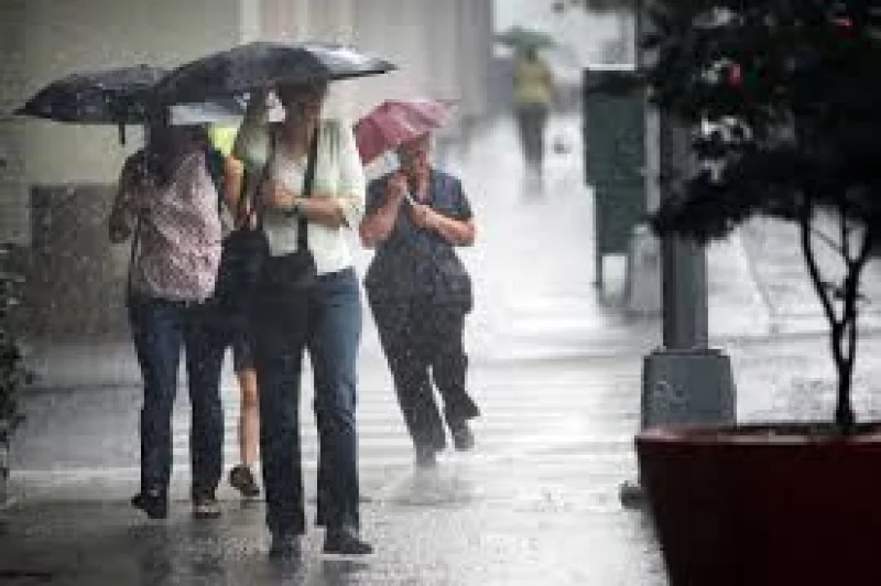
Strong to severe storms are forecast to hit the New York City area on Saturday, and a Severe Thunderstorm Watch is now in effect for the entire Tri-State Area through 10 p.m. The most intense weather is expected late in the day and into the evening, after a hot, muggy stretch that will keep temperatures in the upper 80s and low 90s through 5 p.m.
That timing is why the forecast is drawing attention now. A First Alert Weather Day has been declared for late this afternoon through the evening, signaling that the biggest impacts are likely to arrive after the day has already felt like summer. The storm system is expected to bring damaging winds, large hail and ponding of water, with the first storms developing in counties west and northwest of New York City from 5 p.m. to 6 p.m.

From there, the line is expected to move closer to the five boroughs by 7 p.m. to 8 p.m., then reach the Jersey Shore around 9 p.m. to 10 p.m. before exiting Long Island closer to 11 p.m. The broad watch covers New York, New Jersey and Connecticut, underscoring how wide the threat area is for a single evening of bad weather.
The setup leaves one important unknown: how much rain each area will get and whether any official warnings will replace the watch as storms strengthen. For now, the message is straightforward. Saturday starts with heat and humidity, but by evening the NYC weather story shifts to wind, hail and fast-moving downpours, and live storm updates are set to begin at 5 p.m.