The National Weather Service said Thursday there is now an 82% chance that El Niño will take hold by July, and a 96% chance the climate pattern will last through the winter. It also raised the odds of a super El Niño between November 2026 and January 2027 to 37%, up from 25% last month.
That marks a sharp turn from the previous forecast, which favored neutral conditions through June. The latest update shows the overall odds of a stronger El Niño at about two in three, a sign that the warming in the equatorial Pacific has become harder to ignore.
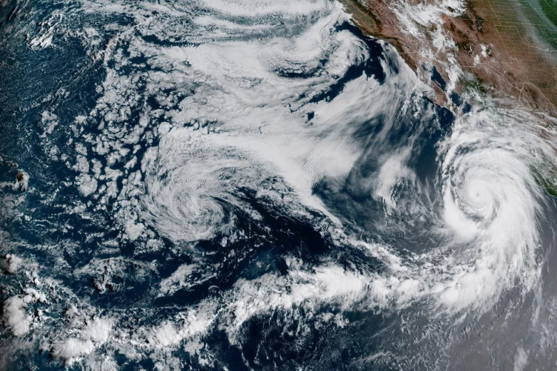
For Maria Lopez, that forecast is more than a line on a chart. She is the kind of person who watches these updates because the outcome can shape weather far beyond the Pacific basin, from heavy rain in some places to drought in others. El Niño begins when weaker-than-usual trade winds allow warm water to flow back toward the west coast of the Americas, pushing the Pacific jet stream south of its usual path and changing storm tracks across a broad stretch of the globe.

Forecasters say the numbers have climbed because there is now a vast pool of warm water built up in the depths of the central and eastern equatorial Pacific in recent weeks. A weak El Niño begins at 0.5 degrees Celsius above average in that region. To become a super, or very strong, El Niño, the equatorial Pacific would need to warm by 2 degrees Celsius.
A super El Niño would be the first since 2015-2016 if one develops in 2026, and that event was one of the strongest on record, according to NOAA. Only four super El Niño events have been recorded since 1950: 1972-1973, 1982-1983, 1997-1998 and 2015-2016. The latest forecast does not say one is certain, but it makes the stronger scenario a real possibility rather than a distant one.
That matters because El Niño and La Niña do not just appear on the margins of weather reporting. They usually arrive every two to seven years and last nine to 12 months, shifting the odds on temperature and rainfall over large parts of the world. La Niña is the opposite pattern, with stronger trade winds, colder water and a jet stream that moves north. El Niño tends to show up more often, and the new forecast suggests this one may arrive sooner and possibly grow larger than many had expected just a month ago.