


El Niño is forecast to shape the U.S. winter of 2026-27, with the southern half of the United States likely to turn wetter than usual while the northern tier trends drier and warmer. The setup could send more rain and snow into the South and central states just as the winter season begins to matter for water supply, flood risk and drought relief.
That is why the forecast is being watched now. A strong El Niño can shift the Pacific jet stream southward and steer storms with it, and the current event is expected to be among the strongest on record. For a region that depends on winter precipitation, the difference between a wet season and a dry one can decide how much snow piles up in the mountains, how much water reaches reservoirs and whether the winter becomes a help or a hazard.
The signals are already familiar to forecasters. Strong El Niño conditions tend to make the southern half of the United States wetter than usual and leave the northern tier drier and warmer. In the western United States, that matters because last winter produced one of the lowest snow years on record for almost the entire region, and major reservoirs in the Colorado River basin fell to their lowest levels since they were first filled. Lake Powell and Lake Mead together supply water for about 40 million people and hydropower for hundreds of thousands of people, so even a modest swing in snowfall and rain can ripple far beyond the mountains.

There is also a hard edge to the pattern. Powerful storms supercharged by El Niño in October and November brought destructive flooding to the Four Corners region of New Mexico, Arizona, Colorado and Utah. Fast-melting snow and days of heavy rain flooded the San Juan River and Rio Grande, damaging hundreds of homes. The same pattern that can help refill a drought-strained basin can also overwhelm rivers and towns when the storms arrive in the wrong place or too fast.
El Niño is defined by warmer surface temperatures in the east-central tropical Pacific Ocean, and it is considered present when that water is at least 0.5 degrees Celsius warmer than average for three months. In August-October 2026, the average surface temperature there was 2.5 C warmer than average, putting it among the warmest periods on record going back to 1950. That helps explain why the winter forecast is drawing so much attention: it is not a vague pattern, but a strong signal with a history of pushing storms across the southern United States.
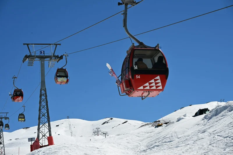
The Southern Hemisphere has already offered a clue. During the South American winter that just ended, much of the central Chilean Andes saw a huge amount of snow, with Portillo logging its deepest accumulation since the current drought began in 2010 and areas north of Santiago seeing their deepest snow in 70 years. Forecasters are not treating that as a guarantee for North America, but they do see it as a reminder of how forcefully this El Niño can load the storm track. For the western United States, the hope is that fall 2026’s rain and snow can help make up for last year and start easing a drought that has dragged on for a quarter century. The unanswered question is not whether El Niño will influence the winter, but how much rain and snow each region will actually get when the season arrives.