

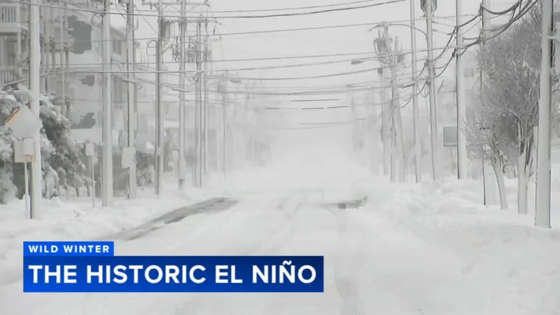
The weather pattern has flipped from La Niña to a record-setting El Niño, and that shift is already changing the winter outlook for the Philadelphia region. After a season that brought more than 30 inches of snow, the next few months are now being shaped by warmer ocean waters off South America and a storm track that could steer very different weather into the East Coast.
That change matters today because the same pattern that can keep Arctic air bottled up to the north can also send storms racing out to sea or turning up the coast. Paul Pastelok said the strong El Niño is only the fourth in 76 years, and in this kind of setup the odds rise for one blockbuster snowstorm even as above-average temperatures are favored across the northern states. In other words, the winter is not headed toward a simple snow versus no-snow answer.
The setup is broad and powerful. Warm waters in the equatorial Pacific are running near 10 degrees above average, and that active signal is expected to push a subtropical jet into California and across the southern U.S. from there, with serious flooding and extremes possible from California to the Southeast and into the Mid-Atlantic coast. The previous two strong El Niño winters also produced above-average precipitation, with nearly a foot of liquid, so the pattern is not just about temperature. It is about how much water gets moved around the country, and where it falls.

For the Philadelphia region, that means the shoreline and the river corridors are the places to watch first. Coastal storms are expected to continue during this historic El Niño forecast, and the shoreline has already been severely tested by multiple storms. In places like North Wildwood, the fragile coast now looks more like mini cliffs, which leaves it highly vulnerable to more erosion. North Wildwood Mayor Salvatore Zampirri and other shore mayors are in talks with the Army Corps of Engineers and the DEP about extending dunes and bulkheads as well as beach replenishment, a sign that the damage is not just cosmetic anymore.
There is still a catch. Strong El Niño winters can produce blockbuster snowstorms, and 1982-83 and 2015-2016 are the usual examples of that upside. But the pattern can also fail to deliver much snow at all, and 1997-98 is the reminder that a strong El Niño does not guarantee a stormy white winter. Pastelok said January 20th seems like the magic date for snow chances, which is a way of saying the atmosphere often needs time before the right storm track and cold air line up for the Mid-Atlantic.
So the next stretch of winter is likely to bring more stress than certainty. The Delaware Valley should be ready for heavier rain and flooding, especially along waterways, while the coast braces for more erosion. The one question that still hangs over the season is whether the region gets its snow in one big hit or spends most of winter waiting for a storm that never quite arrives.