


The National Weather Service issued a flood watch Sunday for the San Juan Mountains and several southern Colorado river basins, while a separate flood warning went up for the San Juan River in Pagosa Springs until Monday evening. Forecasters called it a particularly dangerous situation as heavy rain in the lowlands was expected to turn to snow above 10,000 feet in the mountains.
The alert was not abstract. The San Juan River in Pagosa Springs was expected to crest at 19.71 feet between late Sunday night and early Monday morning, just below 20 feet and more than 4 feet higher than the flooding that devastated the region 10 days earlier. It was also roughly 2 feet above the record 17.8 feet set during the October 1911 flood, a mark that gives the warning its weight. For a town still digging out from last week’s damage, the new forecast raised the stakes immediately.

The flood watch covered Alamosa, Creede, Del Norte, Durango, Mancos, Monte Vista, Pagosa Springs and South Fork, and it was set to stay in effect through Tuesday. At the same time, mandatory evacuations were in effect Sunday morning in Archuleta County for low-lying and flood-prone areas along the Rio Blanco, Navajo, Piedra and San Juan rivers, including downtown Pagosa Springs, along with Stollsteimer Creek near U.S. 160.
Elsewhere, pre-evacuation orders were in place in Rio Grande and Mineral counties along the South Fork of the Rio Grande River, including Del Norte, Monte Vista and South Fork. The river near South Fork was forecast to rise to 9.7 feet by 11 p.m. Sunday, the river near Monte Vista to 10.4 feet by 5 a.m. Monday, and the Conejos River near Mogote to 8 feet by 5 a.m. Monday, all levels that NOAA river gauges classify as major flooding. Mandatory evacuations were also ordered from Platoro to Mogote in the Conejos River Canyon, with the rest of Conejos County on pre-evacuation notice.
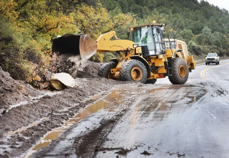
The hardest part of the warning is what could not be done while it was happening. Archuleta County sheriff’s officials said helicopters would be grounded during the worst of the storm and first responders may not be able to reach people in danger until it passes. That matters because last week’s flooding damaged more than 500 homes and 150 miles of road in Archuleta County, and the storm had already affected 11 other counties in southwest Colorado. The next few hours will show whether the new crest stays within forecast or pushes the river beyond the level already set as the benchmark for danger in Pagosa Springs.