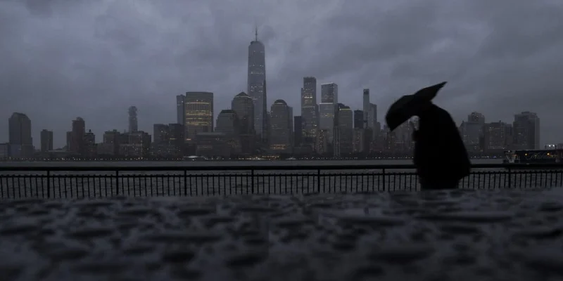
A potential nor'easter is taking shape off the Northeast coast late this week, and it could send rain, strong winds, high surf and coastal flooding across a broad stretch of the region. The system may also slow travel from New York to Boston and beyond, depending on how close the low pressure area tracks to shore.
Winds could start picking up late Tuesday, a sign that the setup is beginning to tighten. As the low moves north along the East Coast and draws closer to high pressure near the Great Lakes, the pressure difference between them should increase, and that is what helps accelerate the wind.
That matters because the storm is not a one-size-fits-all event. The GFS model brings the low closer to shore than the European model, while the European model keeps it farther offshore. If the low hugs the coast, several inches of rain could fall, and heavy rain along the coast could raise flash flooding concerns. If it stays farther out, the impacts would likely be less severe.

Either way, the region is looking at a messy stretch of weather late week. Gusty winds could lead to power outages and travel delays along the coast and potentially inland, while coastal erosion and high surf could add another layer of damage. Unsettled weather could peak late week, when the storm is closest and the impacts are most likely to be felt.
The system could then stick around into the weekend and potentially strengthen, which would keep the threat alive even after the first round of rain and wind. Nor'easters are defined by winds coming from the northeast, and they usually show up more often in late fall and winter; this one would arrive earlier than that and would be all rain, not a snowy coastal storm.
That is why forecasters are watching the track so closely now. A shift of just a little closer to shore would be enough to turn a windy, wet storm into one with more serious flooding and outage risks, especially for the coastal corridor people use every day.
The Weather Channel said it was found to be the world's most accurate forecaster in ForecastWatch's Global and Regional Weather Forecast Accuracy Overview, 2021-2024.