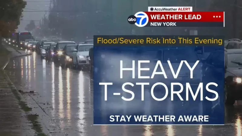
A tornado warning was issued for parts of Atlantic County on Thursday evening just before flash flood warnings spread across New Jersey and parts of New York City, as strong thunderstorms pushed heavy rain and gusty winds through the region.
The warning for Atlantic County was issued at 4:38 p.m. and was set to expire at 5:15 p.m. The National Weather Service said there were no immediate reports of a funnel cloud on the ground when it went out, but the alert underscored how quickly the storm system was turning dangerous.
Minutes later, at 4:40 p.m., a flash flood warning was posted for parts of South Jersey and set to continue through 8:45 p.m. It covered southwestern sections of Atlantic County, northwestern sections of Cape May County and the southeastern region of Cumberland County. Forecasters said 1 to 3 inches of rain had already fallen there, and they warned that another 1 to 3 inches could still come down.

The warnings kept widening as the evening wore on. At 5:25 p.m., a new flash flood warning was issued for the southeastern region of Atlantic County and remained in effect until 9:30 p.m. Around 5:40 p.m., another warning went up for parts of Bergen, Essex, Hudson, Passaic and Union counties, along with parts of New York City, and that one was scheduled to last until 7:45 p.m. Severe thunderstorm warnings were also issued for Cumberland, Gloucester and Salem counties.
That broad patchwork of alerts reflected the same storm line moving through different parts of New Jersey, with the National Weather Service saying many areas could be hit by strong thunderstorms with very heavy rain, flash flooding and isolated tornadoes. Some of the storms could also bring small hail, dangerous lightning and wind gusts strong enough to reach 60 or 70 mph.
The immediate question is whether the Atlantic County warning led to a touchdown after it was issued. Forecasters had said a moderate-strength tornado was possible, but the warning itself ended with no immediate reports of a funnel cloud on the ground. For now, the more certain threat was the water, with watches and warnings set to stay active until 10 p.m. Thursday across South Jersey and much of northern and central New Jersey.
The broader setup had most of New Jersey facing a slight risk of excessive rainfall, while a wide swath of northern and central New Jersey was under a moderate risk, the second highest of four flood-risk levels. That made Thursday evening less a single storm than a rolling series of hazards, with the strongest threats shifting county by county as the rain band moved through.