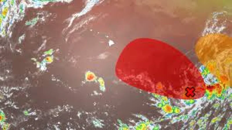
Hurricane Lala brushed the south side of the Big Island at 5 pm HST on August 15, then kept hammering Hawaii with heavy rain, high winds and pounding waves as it moved on without ever making an official landfall. The storm’s eyewall passed closest to the island late Saturday evening, and the damage spread quickly from the Big Island to other islands after that.
Jonathan Erdman, who has covered national and international weather since 1996, said the storm was likely causing considerable impacts, and the numbers back that up. Wind gusts of 50 to 90 mph were measured over the mountainous terrain of the Big Island, Maui County and Oahu, while instruments atop Mauna Kea recorded a 154 mph gust early Saturday afternoon. On the ground, strong winds downed trees and power lines and blocked roads on parts of the Big Island, and flooding closed some roads in Hilo and south near Mountain View and Hawaiian Paradise.

The rainfall totals were the kind that turn a near miss into a serious disaster. Laupahoehoe saw 42.69 inches of rain between Friday and Sunday, with more than 31 inches of that total falling in just 24 hours. Nahuku saw more than 35 inches on the southeastern side of the Big Island, and Hilo International Airport reported nearly 10 inches. Lala became only the fifth hurricane since 1957 to pass within 70 miles of the Big Island, a short list that also includes Hone in 2024, Douglas in 2020, Iselle in 2014 and Kanoa in 1957. A storm can miss landfall and still hit hard when its outer bands and eyewall rake the islands, and Lala did exactly that.
The worst of the flooding came Saturday night into early Sunday morning in the Naalehu District, where officials issued a flash flood emergency and two homes were swept away as rainfall rates approached 5 inches per hour. The storm’s impacts then spread westward, with remaining islands seeing rainfall totals up to 10 inches at lower elevations and more than a foot across the highest peaks and summits. Honolulu County had a flash flood warning Sunday morning, and heavy rainfall rates drove local streams like Manoa to record flow. Lala also brought snow to the summit of Maunakea, underscoring how wide and varied the storm’s reach was across Hawaii.
The broader backdrop is a more active central Pacific hurricane season, a pattern linked to El Niño and warmer-than-average ocean water. For Hawaii, the immediate question is not whether Lala touched land — it did not — but how much damage its rain and wind have already left behind, from closed roads and downed lines to swept-away homes. That toll is still being measured, and the storm’s footprint already stretches across the islands.