Arthur was downgraded to a post-tropical cyclone on Wednesday night, but it did not lose the power to cause trouble. The National Hurricane Center said in its 11 p.m. update that the system was now Post-Tropical Cyclone Arthur, even as it still carried sustained winds and the threat of dangerous flooding along the Gulf Coast.
The change came after Arthur’s center re-formed just 10 miles northwest of Galveston, Texas, and the storm still had maximum sustained winds of 40 mph at the time described. Tropical storm watches and warnings were discontinued, but officials were still warning of damaging winds, torrential rainfall and storm surge for parts of Texas and Louisiana.
For people searching local weather now, the reason is simple: the danger had not passed when the name changed. A Level 3 out of 4 flood threat was in effect through Thursday morning, and some areas were expected to see up to 10 inches of rain. The threat extended across Texas and Louisiana, with Baton Rouge, New Orleans and Morgan City among the cities named in the flood risk.

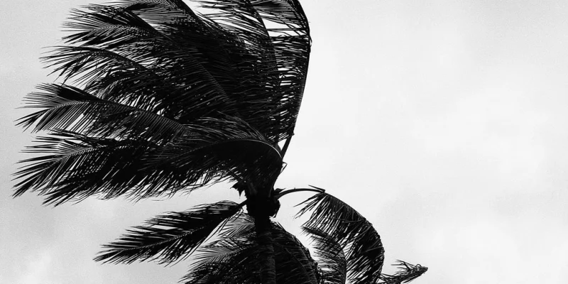
Arthur had already shown what it could do on Wednesday. It brought damaging winds, torrential rainfall and storm surge to parts of Texas and Louisiana, and produced up to 3 feet of storm surge along the Texas coastline. Overnight, the disturbance was still holding strong with sustained winds of 35 mph, a sign that the downgrade did not mean the system had weakened to harmless.
That is the part that makes this storm different from a quick headline update. Widespread and locally catastrophic flooding remained on the table, and forecasters said Post-Tropical Cyclone Arthur could still bring a life-threatening flash flood threat to the Gulf Coast through the end of the week. In Waco, torrential downpours already turned hazardous, leaving Interstate 35 flowing like a river amid life-threatening flash flooding.
Arthur was the first named storm of the 2026 Atlantic hurricane season, and it strengthened after being designated Potential Tropical Cyclone One. The FOX Forecast Center said the system gained strength over the Gulf’s warm waters and got a lift from a sharp dip in the jet stream, though it spent limited time over water and kept running into moderate wind shear that held its strengthening in check.
What matters next is not whether Arthur keeps its tropical title. It is whether the rain stops before the water has a chance to rise again. Forecasters said the flooding and wind threat could continue through the end of the week, and for the Gulf Coast, that means the worst part of the storm may still be ahead.