A disturbance near the Texas-Mexico border could briefly strengthen into Tropical Storm Arthur this week, but the bigger threat is already falling from the sky: repeated bands of heavy rain that could trigger life-threatening flooding across the Gulf Coast and Lower Mississippi Valley.
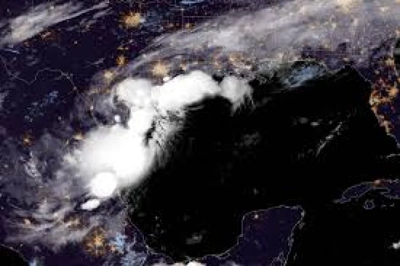
The National Hurricane Center said Tuesday morning that a trough of low pressure near the Mexico-Texas border was producing a broad area of disorganized showers and thunderstorms, with the system possibly reemerging over the northwestern Gulf of America later Tuesday. Forecasters said environmental conditions there may be just favorable enough for a short-lived tropical storm later Tuesday or Wednesday, and Arthur is the first name on this year’s list.
That is why people across southern and eastern Texas, as well as parts of Louisiana and Mississippi, are watching closely today. Flood watches were already in place Tuesday morning across southern and southeastern Texas, much of Louisiana and roughly the southern half of Mississippi, while millions of people across the region faced the threat of life-threatening flash flooding this week.

AccuWeather said on Monday that a tropical rainstorm could form on Tuesday and warned that repeated rounds of torrential rain fueled by tropical moisture were especially concerning this week. The rainfall could be relentless. In the strongest storms, rain rates may reach 2 to 4 inches per hour, enough to pile up dangerous totals over several days even if the system never becomes a lasting tropical storm.
The forecast also stretches beyond simple storm formation. AccuWeather projected the system could spread heavy rain from eastern Mexico through Texas and parts of the Gulf Coast before tracking northeastward later this week, and forecasters said gusty winds and coastal flooding could affect parts of the northwestern Gulf Coast. Dan DePodwin warned Monday that this week is especially concerning because of repeated rounds of torrential rain, a reminder that the worst impacts in the tropics do not always come from wind.
That is the sharp edge in the forecast: the system may only organize briefly, but even a short-lived tropical storm could still dump enough water to flood streets, rivers and neighborhoods across a wide area. The Atlantic hurricane season runs from June 1 through November, and the National Oceanic and Atmospheric Administration has predicted a below-normal season with eight to 14 named storms. For now, the most important question is not whether Arthur forms for long; it is where the heaviest rain locks in and how fast the ground can take it.