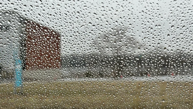
Severe weather is moving toward Central Ohio late Wednesday night and early Thursday morning, with rain showers and thunderstorms sliding in this evening before the threat turns more serious after 8-10 p.m. The main concern is damaging straight-line winds, while a few tornadoes cannot be ruled out.
People in Central Ohio are searching watch vs warning now because the timing matters as much as the threat: storms are expected to build after dark, when many are asleep and less likely to hear alerts. The Storm Prediction Center keeps the area in a slight risk, and the most exposed corridor appears to be west of I-71, where a few tornadoes cannot be ruled out even though the broader severe threat is still expected to be wind.
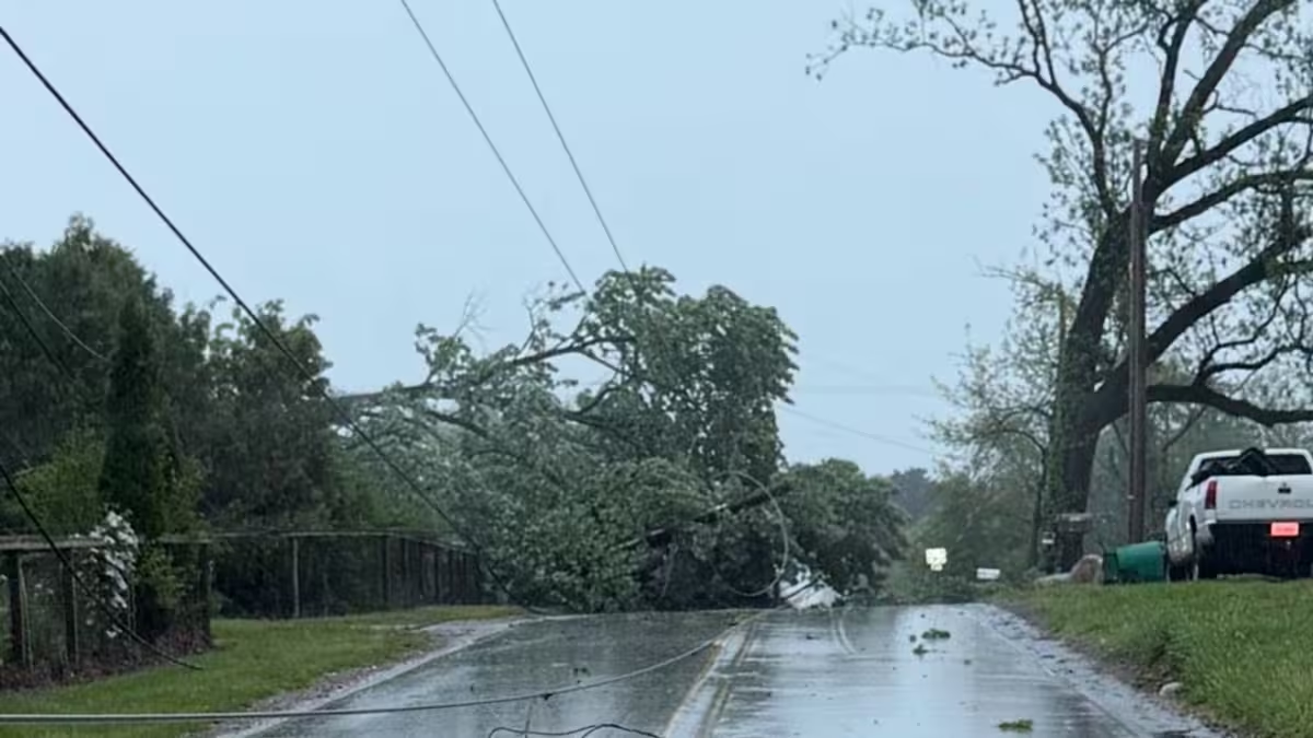
That is the part that makes this system worth watching closely. A few strong storms are possible, but the larger signal points to a night-time line of storms that could push damaging gusts through the region before dawn. In practical terms, damaging straight-line winds mean the kind of force that can break tree limbs, down power lines and make travel hazardous, even without a tornado on the ground.
The storms are expected to persist overnight and move out by early Thursday morning before 6 a.m., and the payoff comes quickly after that. Sunshine returns Thursday with highs in the low 80s, Friday stays dry with highs in the upper 70s, and only a slight chance for a few pop-up showers arrives by Saturday before a better chance for rain and thunderstorms returns Sunday night into Monday.
The question now is not whether Central Ohio gets storms; it is how strong the winds become when they arrive overnight and whether any isolated rotation develops west of I-71 before the system exits. For now, the better reading is simple: the watch vs warning decision point could come late, and the most important hours are the ones most people sleep through.