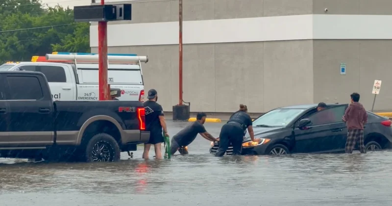
A Flood Watch is in effect through Tuesday night across much of North and West Georgia as multiple rounds of heavy rain move over the state through late today. The weather pattern is raising the risk of flash flooding in counties from Banks and Barrow to Whitfield and Walker, with cities, low-lying areas and places with poor drainage facing the greatest danger.
The watch covers Banks, Barrow, Bartow, Bibb, Butts, Carroll, Catoosa, Chattooga, Chattahoochee, Cherokee, Clarke, Clayton, Cobb, Coweta, Crawford, Dade, Dawson, DeKalb, Douglas, Fannin, Fayette, Floyd, Forsyth, Gilmer, Gordon, Greene, Gwinnett, Hall, Haralson, Harris, Heard, Henry, Jackson, Jasper, Jones, Lamar, Lumpkin, Macon, Madison, Marion, Meriwether, Monroe, Morgan, Murray, Muscogee, Newton, North Fulton, Oconee, Oglethorpe, Paulding, Peach, Pickens, Pike, Polk, Putnam, Rockdale, Schley, South Fulton, Spalding, Stewart, Sumter, Talbot, Taylor, Troup, Towns, Upson, Union, Walker, Walton, Webster, White and Whitfield counties. Repeated rounds of showers or thunderstorms could quickly send creeks and streams out of their banks, especially where storms train over the same area.
The concern today is not just how much rain falls, but how fast it comes down. The atmosphere remains unusually moist, allowing storms to produce high rainfall rates that can overwhelm drainage systems in a short time. That is why forecasters are warning that places hit by several rounds of rain may see rapid flooding rather than slow rises in water levels.
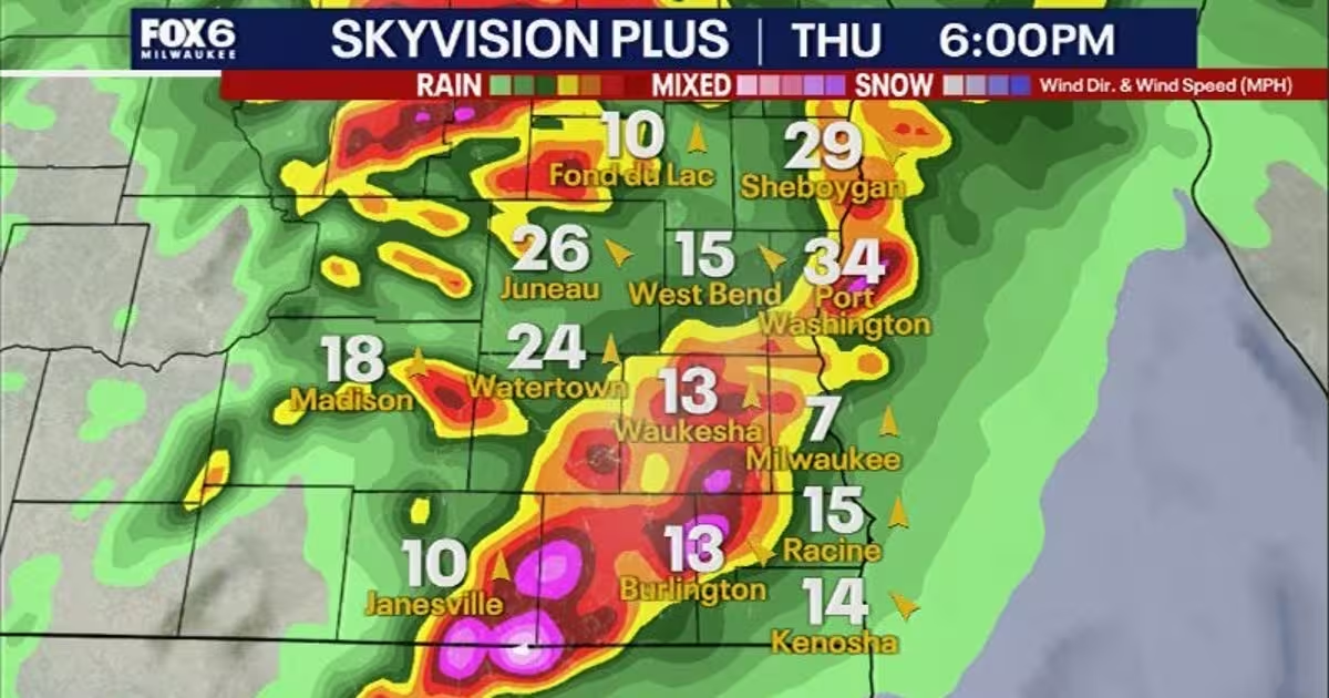
For people across the watch area, the risk is concentrated in the kinds of places where water has nowhere to go. Low spots, urban streets, underpasses and neighborhoods with poor drainage can flood quickly when the ground is already saturated and another burst of rain arrives. Creeks and streams can also rise fast, leaving little time to react once water starts moving.
The setup echoes other recent storm-driven flood threats, including warnings that have accompanied heavy rain in places such as San Antonio, southeast Nebraska and parts of Australia. But the Georgia forecast is its own event, driven by repeated showers and thunderstorms through Tuesday night rather than a single passing storm.
That makes the next 24 hours the critical window. Anyone in the watch area should be ready for sudden changes in road conditions and rising water through late today and into Tuesday night, because the danger comes from the repetition of storms, not just their intensity.