


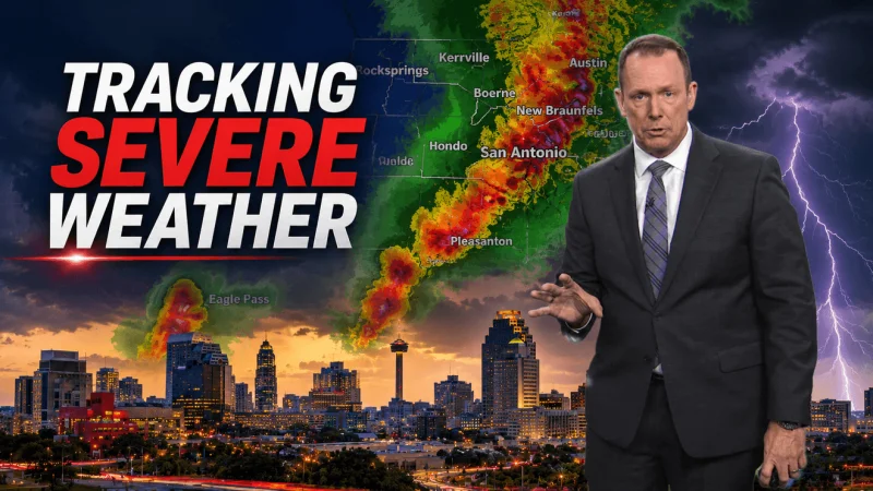
San Antonio and much of South Texas are facing a dangerous stretch of weather tonight, with a Flash Flood Warning in effect for the city until 1:15 a.m. and a Tornado Warning active for parts of Bexar County until 10:30 p.m. The threat is not limited to one neighborhood or one hour: a Severe Thunderstorm Watch runs until 9 p.m. from Medina County west to Val Verde County, while Bexar County remains under that watch until 6 a.m. Wednesday.
The immediate concern is life-threatening flooding and fast-moving storms, not a routine rain event. Large hail and damaging winds are the main severe weather concerns, and forecasters say the area is under a Flood Watch for potential rapid, life-threatening flooding. Another Flood Watch covers San Antonio and the Hill Country, west along Hwy 90 to Del Rio, through Wednesday morning.
That warning matters because the ground is expected to stay under pressure from more rain. Today is forecast to be variably cloudy with a 30% chance of afternoon rain and an 80% chance of rain at night, with highs in the 86 to 90 degree range. Wednesday stays unsettled with variably cloudy skies, a 40% chance of rain and highs of 81 to 85 degrees, before Thursday turns partly sunny with a 20% chance of rain and highs back near 86 to 90 degrees.
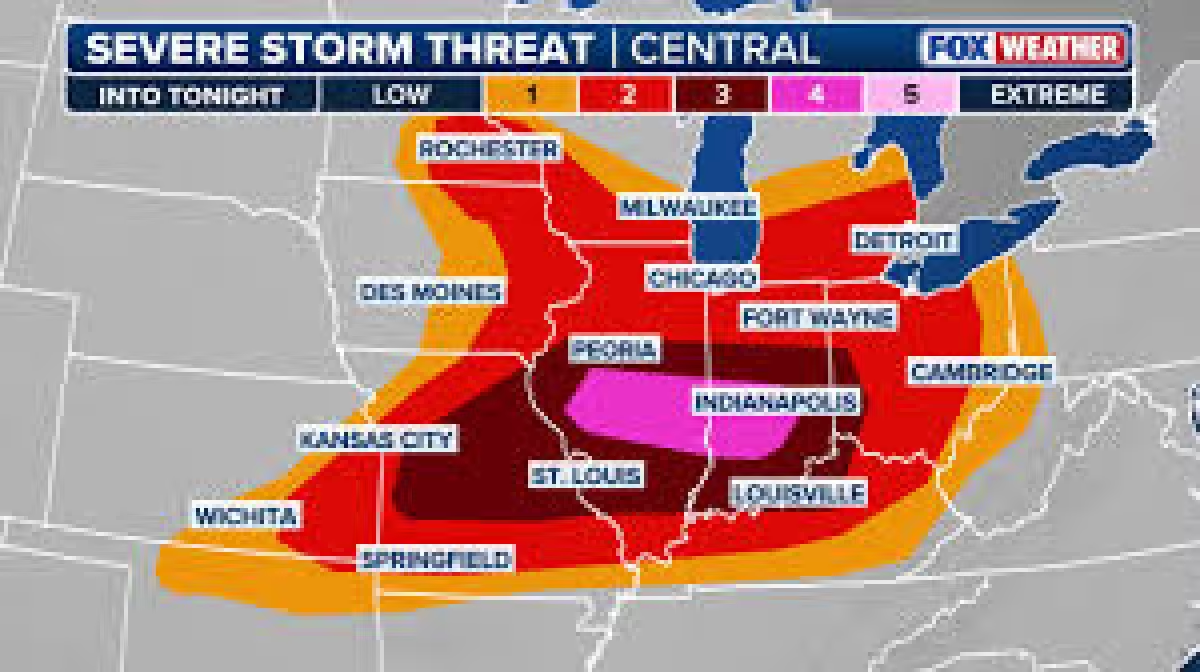
The risk is being driven by storms that are expected to become widespread later in the evening and overnight. The severe storm outlook is Level 1 to 2 out of 5, which points to a lower-end but still serious setup for strong winds and hail. Even at that level, the combination of warnings, watches and a flood threat means conditions can change quickly across short distances.
For people in the warned areas, the message is simple and urgent: seek shelter immediately. The tornado warning for Bexar County, the flash flood warning for San Antonio and the broader flood watch across the Hill Country all point to the same forecast — a night when heavy rain and severe storms can turn dangerous fast, and when the next hour may matter more than the rest of the week.
