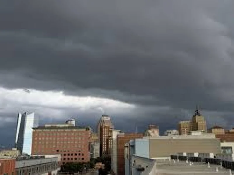
San Antonio is expected to stay mostly quiet through Tuesday evening, but that calm should not last. A front is forecast to slide in from the northwest Tuesday night, and storms are expected to fire along the dryline before organizing into a line and pushing south through the Hill Country and then the San Antonio metro area.
The first round could turn severe, with damaging wind gusts of 70 mph or greater and quarter-sized hail the main threats. Street flooding is also possible, and some showers could linger into the Wednesday morning commute. Justin Horne urged people to “stay weather aware and check back often for updates!” as the setup becomes clearer.

That warning matters because the bigger story is not just Tuesday night. The weather pattern is expected to stay active starting Wednesday, with conditions remaining favorable for strong storms over time. Rounds of heavy rain could bring more street flooding, and forecasters say up to 5 inches of rain could fall in spots between Tuesday night and Memorial Day.
For now, the timing and the hardest-hit areas are still impossible to pin down. That uncertainty extends to Memorial Day weekend as well, when more storms may still be in play. What is clear is that the region is moving into a stretch where drought-denting rain is possible, but so is a fast-changing pattern that can turn a quiet evening into a severe-weather night in a matter of hours.
The safest read is simple: Tuesday buys the region a little time, but not much. By Tuesday night, people in the Hill Country and then San Antonio itself should be ready for storms, flooding on some streets and the kind of wind and hail that can do damage fast.