A strong spring storm pushed into Colorado on May 16, bringing hail to the Eastern Plains and setting up a second round of unsettled Denver weather for May 17 and beyond. The system was expected to keep severe thunderstorm risk alive east of Interstate 76, while also delivering beneficial rain to the I-25 corridor and snow to the mountains.
The storm was forecast to linger through May 17 and into May 18, with the greatest chance for another good soaking overnight May 17 into May 18. The National Weather Service said Larimer and Boulder counties were the bull's-eye, with Red Feather Lakes expected to receive 5 to 10 inches of snow and Cameron Pass 10 to 19 inches. Fort Collins, Estes Park and Boulder were expected to see an inch or more of precipitation.
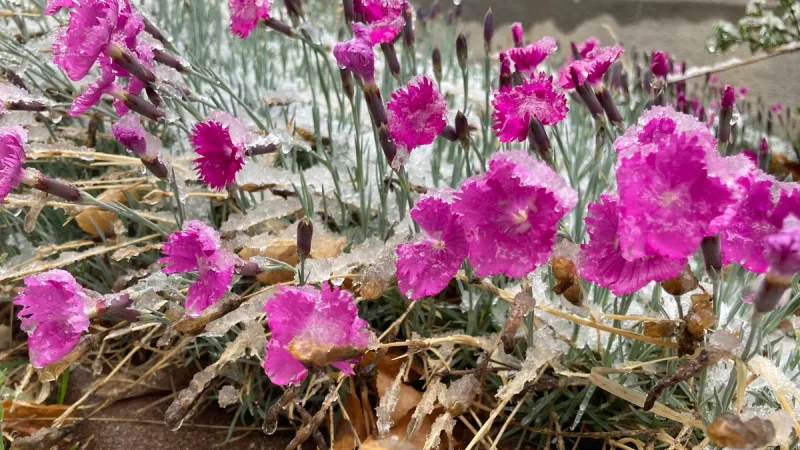
The totals matter because Colorado has already been hit by a much stronger burst earlier this month. The May 4-6 storm dropped nearly 3 feet of snow around Estes Park and nearly 2 inches of precipitation in the Fort Collins area, a level of moisture this system was not expected to match. Even so, the new storm was still poised to bring another round of travel disruptions, mountain snow and sharp temperature swings across a state that needs water but is still vulnerable to late-season cold.

For the lower elevations, the immediate concern on May 17 was severe weather. Isolated strong to severe thunderstorms had the potential to form east of Interstate 76 in northeast Colorado from 11 a.m. to 8 p.m., with large hail up to 2 inches in diameter as the main threat. Strong wind gusts to 60 mph were also possible, and short-lived tornadoes could not be ruled out. Fort Collins was included in the marginal severe-weather area.
Farther west, the National Weather Service issued a winter weather advisory from midnight May 17 through 6 p.m. May 18 for the northern and central mountains, including Rocky Mountain National Park, the Medicine Bow Range, Summit County, the Mosquito Range and the Indian Peaks. The forecast called for 3 to 15 inches of snow and wind gusts up to 45 mph, enough to make driving hazardous on Monday.
The same system also carried a cold snap behind it. A freeze watch was issued from midnight May 18 through the morning of May 19 for the entire northeast quarter of the state, from the Wyoming border to Colorado Springs east, including Fort Collins, Boulder and Denver. Lows could reach 30 degrees, a sharp reminder that spring in Colorado can still turn quickly after a wet spell.
This storm is not a one-off. It is a lingering system moving across a drought-stricken state where urban corridors, foothills and high country are all getting hit differently at the same time. For Denver and the Front Range, that means rain at times, a hard freeze by the end of the weekend and another round of weather that may help the moisture deficit, but only in pieces.