NOAA projections show the next El Niño could climb into superstorm territory by November, with sea surface temperatures averaging 4.5 degrees Fahrenheit above normal. Meteorologists say they would not be surprised if it breaks records that have stood since the 1870s.
That matters now because the shift could ripple far beyond the Pacific. The expected pattern could mean more Pacific hurricanes, a wetter and colder winter across the southern U.S., and possibly the hottest year on record, all while the climate system is already under strain.

El Niño is a cyclical climate phenomenon, but its reach is anything but routine. It can drive flooding, heat waves, crop instability, humidity, drought and other weather extremes around the globe. The projection for November places the system near a threshold that forecasters say has not been seen at this scale in the United States since the 1870s.
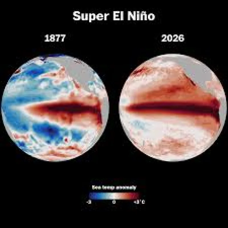
The historical comparison is stark. The monstrous El Niño of 1877 brought famine and epidemics around the world, a reminder that a warmer Pacific can reshape weather far from the ocean itself. NOAA’s outlook does not say the coming event will repeat that disaster, but it does suggest a test for a world already dealing with disruption.
The tension is that the forecast is still months away, yet the early numbers are already extreme. By November, sea surface temperatures could average 4.5 degrees Fahrenheit above normal, and as the end of 2026 approaches the projected value spikes off the top of NOAA’s chart. That is why forecasters are watching closely: the next El Niño may arrive not as a background weather note, but as a global stress test with consequences that could be felt in the Americas, the Pacific and well beyond.