

Florida's Atlantic coast was flooded again Thursday as heavy rain triggered flash flood warnings around Melbourne and the Space Coast, putting a long stretch of the state back under urgent watch. Some areas from South Florida to the Space Coast had already taken on more than 16 inches of rain since Tuesday.
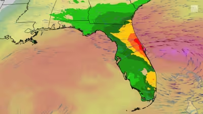
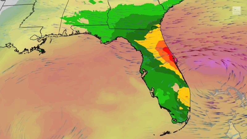
That kind of soaking is why the search is focused on Florida Flash Flooding now: NOAA's Weather Prediction Center put parts of the Atlantic coast back in its highest flash flood threat category on Friday, with the highest risk area including Melbourne and Titusville. Thunderstorm bands kept wrapping into Florida's East Coast from near and north of Miami to the Space Coast and First Coast, turning what could have been a brief downpour into a repeated flood event.

The rain has already rewritten local records. Flooding rain smashed some November, fall and all-time marks near Florida's Atlantic coast from Ft. Lauderdale to Melbourne, underscoring how quickly the water piled up and how broad the event has become. The heaviest additional rainfall through Saturday is expected to stay on Florida's East Coast, likely between Jacksonville and Port St. Lucie, which means the same corridor that has already been hit hardest is the one that remains most exposed.
There is a catch in the forecast that matters to anyone watching roads, homes and storm drains: the coast should eventually dry out, but not before more rain arrives. Persistent onshore flow is expected to keep bands of heavy rain moving into Florida's Atlantic coast through Friday or early Saturday, a low pressure system is set to form near the surface by late Friday or early Saturday, and bands of locally heavy rain with occasional gusty winds should continue across Florida through at least Saturday. By Sunday, much of Florida should dry out except for some lingering isolated bands of showers.
For now, the state is stuck in the gap between what has already fallen and what still has to clear out. This is the second time in less than three weeks that Florida's Atlantic coast has been inundated with flooding rain, and the next stretch of the forecast suggests the worst of it will stay aimed at the same east coast corridor before conditions finally ease.