


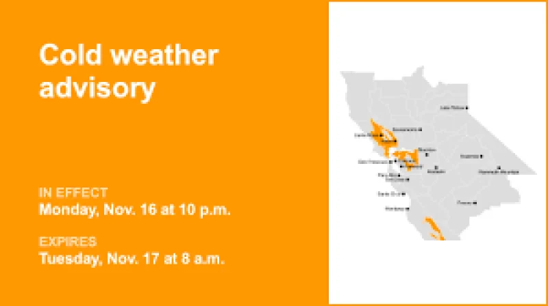
The National Weather Service issued an updated cold weather advisory at 7:45 a.m. Tuesday for the East Bay Interior Valleys, keeping the alert in place until 8 a.m. as strong southwest winds moved through the inland parts of the Bay Area. The advisory warned of winds of 20 to 30 mph, with gusts as high as 50 mph.
That is why residents and drivers were being asked to pay attention this morning. The wind can blow around unsecured objects, bring down tree limbs and lead to a few power outages, and the weather service said it can make driving difficult, especially for high-profile vehicles. For anyone heading out early Tuesday, the concern is not just the wind itself but the way it can turn routine travel into a hazard in a short time.

The advisory also highlights a common weather distinction. A cold weather advisory is issued when seasonably cold air temperatures or wind chill values are expected or occurring, but not extremely cold values. The service uses an extreme cold warning for dangerously cold air temperatures or wind chill values, and an extreme cold watch when those conditions are possible. In this case, the immediate risk tied to the alert is the wind, even though the advisory carries the cold-weather label.
The alert was set to expire at 8 a.m. Tuesday, but the unresolved question for inland communities is how much of the morning commute it will affect before conditions ease. Until then, the National Weather Service said the safest move is to use extra caution, especially on roads where gusts can hit without much warning.