

Dry weather across Southern California is set to end late Thursday evening as consecutive Pacific storm systems move in, replacing another stretch of unusual warmth with rain, cooler air and rough coastal conditions. By Friday, highs are expected to fall 5 to 10 degrees from Wednesday, and by Friday and Saturday most areas should sit in the 60s to low 70s.
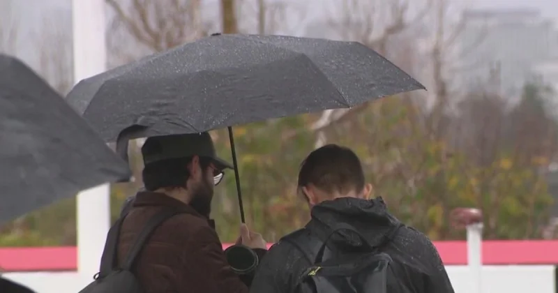
That shift is arriving just as people across Los Angeles and Orange counties are checking when the rain will start and how hard it will come down. Rain chances are above 90%, and most areas are expected to pick up between a quarter-inch and 1 inch from the two systems, with the higher totals more likely on mountain slopes and where thunderstorms briefly form. Hourly rainfall rates should stay at or below a quarter-inch per hour in most places, though there is a 20% to 30% chance that some spots could briefly see up to a half-inch per hour.
The first showers are expected to move into Los Angeles County after midnight Thursday and spread across the region before dawn Friday. Forecasters say scattered showers should be most common Friday morning, with isolated showers lingering after sunrise, and a second round tied to a frontal passage expected late Friday afternoon or evening. That is why the weather search is focused on timing: NWS forecasters said, “Our next weather system is rapidly approaching,” and added that any areas that miss the Friday morning rain should get wet again Friday night.

Even with widespread rain likely, the bigger-picture message is that major rain-related disruptions are not expected. Forecasters say the back-to-back systems should give the region broad coverage without producing significant flooding, and they said peak rain rates are expected to stay about the same. A slight chance of thunderstorms remains late Thursday and Friday, with the best chances in Orange County and areas to the south.
The coast is a different story. A Beach Hazards Statement is in effect for the Malibu coast and Los Angeles County beaches through Friday afternoon, and a High Surf Advisory begins at 2 p.m. Friday and lasts until 3 p.m. Tuesday. A large west-to-northwest swell is expected to build breaking waves to 4 to 7 feet on Friday, then 7 to 12 feet on Saturday before easing to 6 to 9 feet from Sunday through Tuesday. Morning high tides are expected to peak between 7.0 and 7.4 feet, with the greatest coastal flooding and erosion risk Saturday morning, when dangerous rip currents, sneaker waves, strong longshore currents and large shore break are most likely to batter west- to northwest-facing beaches.
Sunday should bring a brief dry break, with highs in the mid-60s to low 70s, but the storm train is expected to continue into next week. For now, the main question is not whether Southern California gets wet; it is which neighborhoods, slopes and shoreline stretches end up on the higher end of the range before the next round of weather moves through.