The current El Niño has surged into super El Niño territory after Pacific sea-surface temperatures reached 5.49 degrees above average last month, a jump that puts this year’s cycle well beyond the threshold NOAA uses to define the strongest class of event. That matters because the same warm pulse that marks the change is still building, and NOAA says the phenomenon typically peaks around December.
Julia Rizzo said most El Niño years are a nuisance, but this one has the makings of a shock. She is looking at a Pacific pattern that can reshape weather far from where it starts, and that is why people are searching now for what super El Niño winter weather in the US could mean before the season locks in.
El Niño happens when Pacific trade winds slow down or reverse, allowing huge volumes of warm water to move from the western Pacific toward the Americas. NOAA says a sea-surface temperature of at least 0.9 degrees Fahrenheit above average for several consecutive months marks the onset of El Niño, while 3.6 degrees or higher qualifies as a super El Niño. At 5.49 degrees above average, this event is not just stronger than that cutoff; it is running more than 1.8 degrees above the super El Niño line.

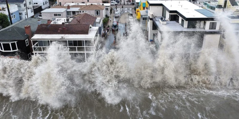
NOAA also says there is a 75% chance the current El Niño will exceed the strength of previous events dating back to at least 1950. That is the number that gives the forecast its weight. The southern U.S. can see unusually heavy downpours and floods during El Niño, while the Amazon region can face brutal droughts and crop failures. No two events behave the same way, but the pattern is familiar enough to make the risks legible.
Hawaii is already showing what a powerful Pacific setup can do. Three storms passed within 50 miles of Hawaii in the space of a month, and Hurricane Lala in August dumped more than 45 inches of rain in some areas, triggering damaging landslides and flooding. Fred Kucharski compared the release of stored ocean heat to throwing a stone into a lake: the energy spreads all over the lake through wave propagation. In other words, the warming does not stay put.
The current cycle began this summer, and it is still moving toward its seasonal peak. That leaves the uncomfortable question unresolved for the next few weeks: whether this super El Niño simply stays strong, or whether it becomes the most forceful event in the modern record and delivers the kind of winter disruption NOAA is warning about.