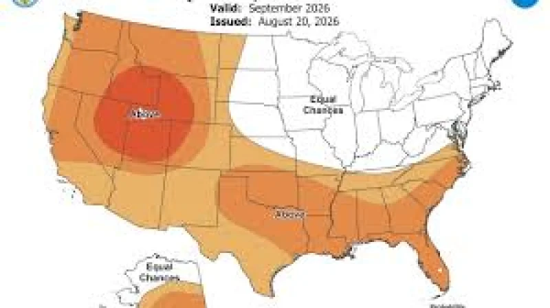
The Old Farmer’s Almanac has released its Old Farmer's Almanac September forecast for the United States, laying out month-ahead weather trends by region instead of the day-by-day detail many readers expect. The outlook points to a mixed September, with some areas heading toward cooler, wetter conditions and others staying warmer or drier than normal.
That is why the forecast is drawing attention now: it offers a fresh look at what September may bring across broad parts of the country, and it does so just as the month begins. The Almanac divides the United States into zones and says its long-range predictions compare historical weather patterns with current solar activity, climate data and large-scale signals such as El Niño and La Niña.
For one region, September opens with showery and cool conditions through September 7, then turns sunny but still cool from September 8 to 11. Rainy periods are expected from September 12 to 19 before showers and cool weather settle in for the rest of the month. That region is forecast to average 59 degrees, which is 2 degrees below average, while precipitation is expected to reach 5.5 inches, around 2 inches above average.
The Atlantic Corridor is set for scattered thunderstorms from September 1 to 12, with warm conditions giving way to cooler weather. Scattered showers are forecast in the north of the Atlantic Corridor from September 13 to 23, while the south remains sunny during that stretch. Isolated showers and cool conditions are expected in the final week. The region is forecast to average 68 degrees, 1 degree below normal, with 3 inches of precipitation, about 1 inch below average.

The Appalachians start September sunny and warm, then move into scattered showers and cooler conditions from September 7 to 12. From September 13 to 23, the north is expected to see isolated showers while the south stays sunny, before showers and cool weather return from September 24 to 27. The region is expected to end the month with showers in the north, sunshine in the south and milder conditions. Its September temperature is forecast at 63 degrees, 2 degrees below average, with precipitation around 2 inches below average.
The Southeast is expected to open with sunny and mild conditions, but thunderstorms are forecast before sunshine returns from September 8 to 18, alongside cooler weather. Another sunny and mild stretch is forecast through September 24, and the region is expected to finish September sunny as cool conditions turn warmer. The Southeast is forecast to average 74 degrees, 1 degree below average, with 2 inches of precipitation, about 3 inches below average.
Florida begins the month with scattered thunderstorms and a shift from warm to cooler conditions through September 11. From September 12 to 20, the north is expected to be sunny while the south sees thunderstorms, with mild temperatures across the region. Sunshine is forecast to continue in the north through the end of the month, while isolated thunderstorms remain possible in the south. Florida is forecast to receive 7.5 inches of precipitation and average 80 degrees, 1 degree below average.
The contrast at the center of the forecast is simple: readers are used to weather reports that promise exact dates, but this one is built to show the direction of the month, not the details of each day. That broad approach is part of the Almanac’s method, which blends solar science, climatology and meteorology into historical comparisons and large-scale pattern tracking. For anyone planning around September, the message is not that every day is mapped out. It is that the month is likely to differ by region, with some areas wetter than usual, some drier, and temperatures edging above or below historical averages.
What happens next is less about a single storm system than the full shape of the month. The forecast will play out zone by zone through September, but the exact daily weather still sits outside the Almanac’s promise.