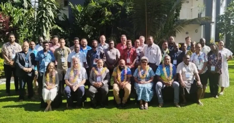
Pacific Island representatives in Honiara endorsed a new run of priority actions to tighten regional monitoring and warning systems for earthquakes, tsunami, volcanoes and landslides through 2030. The decisions came at a joint meeting that pulled together seismic, tsunami and geohazards work into one agenda.
The gathering ran from 10 to 14 August 2026 in Solomon Islands and brought together representatives from Papua New Guinea, Solomon Islands, Vanuatu, Fiji, Tonga, French Polynesia and New Caledonia, along with regional organisations and international technical partners. For the Pacific Island Countries and Territories involved, the timing mattered because the region keeps facing the same hazards at once, and the next five years are now mapped to a common set of priorities rather than separate national plans.
Participants endorsed priority actions for 2026 to 2030 that focus on the Oceania Regional Seismic Network, including better seismic data sharing, stronger interoperability, workforce development and more investment in keeping critical monitoring equipment running. They also agreed to establish an ORSNET Technical Working Group to support regional standards, data governance, operational procedures and technical coordination among member countries. Alongside that, they validated implementation priorities for ORSNET, ORVNET and ORLNET, and backed continued development of a formal Regional Geohazards Network to link seismic, volcano, landslide and tsunami-related cooperation across the Pacific.

The tsunami work ran on a parallel track. The 11th Meeting of WG-PICT reviewed progress under the Pacific Tsunami Warning and Mitigation System, examined progress against the 2025 PTWS Capacity Gap Assessment and discussed steps to improve tsunami monitoring, warning dissemination, response planning and operational coordination. The meeting also highlighted advances in national tsunami response planning, including validated updated arrangements in Fiji, increased seismic data sharing to the Pacific Tsunami Warning Centre and ongoing hazard assessment work supported by regional and international partners.
That progress sits beside the problem it is trying to solve. The region still faces limited technical capacity, incomplete monitoring coverage, equipment maintenance constraints and uneven access to real-time geophysical data, which means stronger coordination has to do more than sound organized on paper. The endorsed actions point to a practical answer: share data faster, keep sensors and systems working, train more people and set common rules so warnings can move across borders without delay.
The next test is whether the new working group and the regional geohazards network can turn those priorities into funded, technical action before the 2026-2030 window closes. If they do, the Pacific's warning systems will be less fragmented the next time a quake or tsunami travels fast enough to leave no margin for hesitation.