


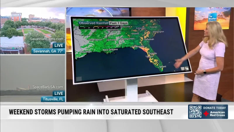
Central Florida gets one more wet and stormy day on Saturday before a drier pattern takes hold Sunday. Tropical moisture from a wave is still hanging over the region, keeping rain chances elevated through the day even as the forecast shifts toward a more stable week ahead.
Jordan said rain should start pushing into areas around and just east of I-4 around 11am Saturday, with spotty showers first lining the coastline before scattered storms spread west of the interstate through the early afternoon. By mid-afternoon, the west coast sea breeze is expected to collide with the east coast breeze around and just east of I-75, a setup that can help strengthen thunderstorms before another line of showers and storms moves back toward the I-4 corridor around 6pm.

That timing matters because Saturday is still the day that can disrupt outdoor plans, even if the worst of the wetter stretch is limited to one day. Sunday does not turn dry in the strictest sense. It brings a more typical sea breeze pattern, with storms developing around 11am to 12pm just east of I-4 and pushing west through the afternoon, while coverage settles around 40% and highs reach the low-mid 90s.
The change after that is clearer. Drier air returns starting Sunday, rain chances ease to 20-30% for much of the week ahead, and highs climb back into the mid-upper 90s for the first week of school. That leaves Central Florida with a short-lived break in the wetter pattern, not a clean end to it, and the bigger shift is less about rain disappearing than about the atmosphere becoming less willing to produce it.
