


Rain and thunderstorms are expected late tonight and into the start of the overnight before clearing out, but that is only the opening act. A low-pressure system sitting and spinning in the Gulf is lining up waves of showers and storms for Saturday through Monday, with the busiest stretch arriving over the weekend.
For people watching weather forecasting for the next few days, the timing matters because the pattern does not shut down after one burst of rain. Temperatures overnight are expected to stay in the mid to upper 70s, and Saturday should still reach the low 90s outside the rain, so the heat will not disappear even as storms move through.
Saturday is shaping up as the first broad day of impact. Periodic showers and storms are expected across the entire area, and the forecast includes torrential rains, gusty winds and frequent lightning. Even so, this is not a full-day washout. Plenty of dry hours are still expected between rounds of rain, which means outdoor plans may be interrupted rather than erased.

That split forecast is what makes the weekend tricky. A day can stay mostly usable and still produce short-lived but intense storms, especially when rainfall rates climb fast enough to overwhelm drainage for a time. The same setup can leave one part of the area dry while another gets hit hard, which is why localized flash flooding is a concern even without a steady all-day downpour.
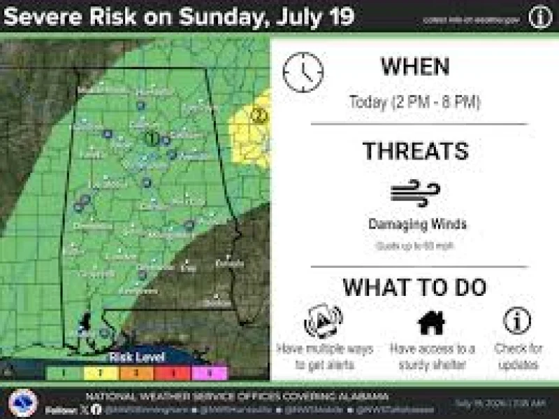
Sunday and Monday keep the same pattern going, with waves of showers and storms expected to continue and highs holding in the low 90s outside the rain. The low-pressure system has only a low-end chance of becoming something tropical, but that does not change the near-term forecast. The main story for the weekend is already set: repeated rain and storms, brief dry windows, and the possibility that a few spots see flooding before the system weakens.
By Monday, the question is not whether the area gets wet again. It is where the heaviest bursts line up and which communities end up dealing with the worst runoff after several rounds of rain. For now, the forecast points to a weekend that stays active from start to finish, with the most disruptive weather coming in waves rather than one long storm.
