


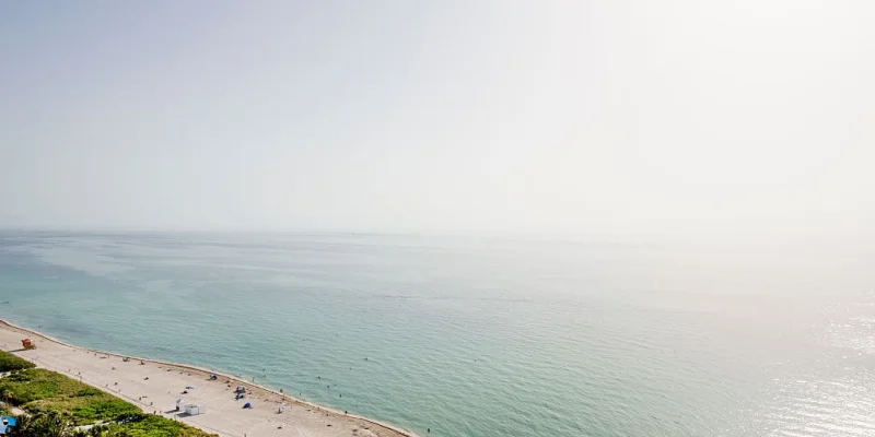
Saharan dust is moving over Central and northern Florida and is helping keep storm activity down across Florida and the Gulf, FOX 13 Meteorologist Jim Weber said July 10. He said no tropical formation is expected over the next seven days.
For people watching Tampa weather, that means a drier pattern is taking shape at a time when July often brings a closer eye on the tropics. Weber said the dry air linked to the dust is expected to keep moving through the tropics through July 21, extending the quiet stretch well beyond this week.

The immediate effect is straightforward: the dust is acting like a lid on storm growth. With dry air in place, rising pockets of moisture have a harder time organizing, which is why the chances for tropical development stay low for now over Florida and the Gulf. That kind of setup matters most when heat and humidity would otherwise be feeding storms.
Still, the pattern is not locked in for the rest of the month. Weber said there will be more moisture toward the end of the month, a shift that could ease the suppressing effect now hanging over the tropics. The open question for Tampa is not whether the atmosphere is dry today, but how quickly that added moisture returns and whether it changes the feel of the weather before August begins.
For now, the forecast is dominated by Saharan dust and the dry air it carries. The seven-day outlook stays calm, and the tropical pipeline remains shut through July 21. After that, the return of moisture is the next change readers should watch.
