


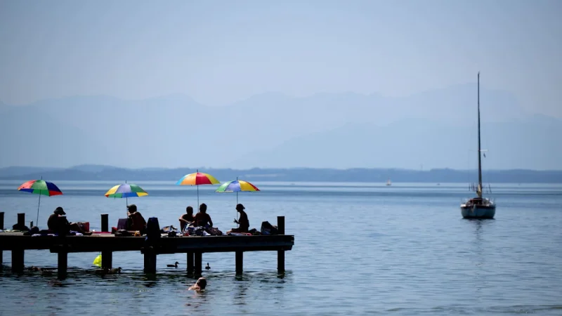
Germany is set for a mostly sunny, very warm to hot Saturday, with the southwest expected to climb to 35 degrees. The dry spell that has settled in is also pushing forest fire danger higher in parts of the southwest and east.
That is the weather picture on Saturday, July 11, 2026, and it is why people are checking the forecast now. The daytime heat will be strongest in the south, while the coasts stay much cooler at 22 to 25 degrees and the north and east reach 26 to 30 degrees. In the southern half, temperatures will rise to 29 to 35 degrees, with some cumulus clouds forming at times in the east but showers remaining the exception. A weak to moderate north to northeast wind will keep the air moving, but not enough to take the edge off the heat inland.

The night before will already set the stage. The sky will be mostly clear and dry, with only the northeast seeing a few clouds at first and some local fog. Along the coasts and in the west and southwest, overnight lows will stay relatively mild at 19 to 15 degrees, while elsewhere they fall to between 14 and 10 degrees. That means many places will start Saturday with warmth still hanging in the air, especially in the southwest where nights are not cooling down much.
The concern is not a sudden storm. It is how long the heat and dryness hold before the pattern changes. KLAUS, the high-pressure system over the British Isles, is strengthening, and that keeps the sunny midsummer weather locked in through Sunday and into the coming week. Sunday should bring another very sunny and summery warm day, with 27 to 35 degrees, and parts of the southwest river lowlands could later reach 37 degrees. In some parts of the southwest, nighttime temperatures will no longer fall below 20 degrees.
That same dry setup is why the fire danger keeps climbing. The risk will locally reach the highest level in the southwest and in the east, where the ground is drying out fastest. For now, the heat is winning. Rain stays distant, and only toward midweek does the probability of showers and thunderstorms begin to increase gradually.
